
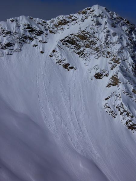
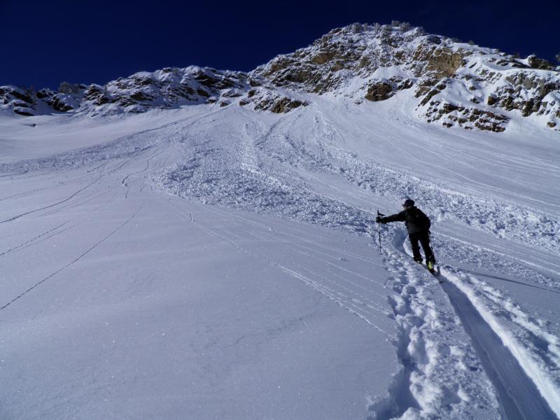
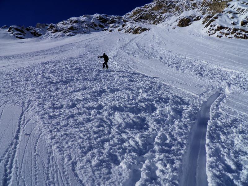
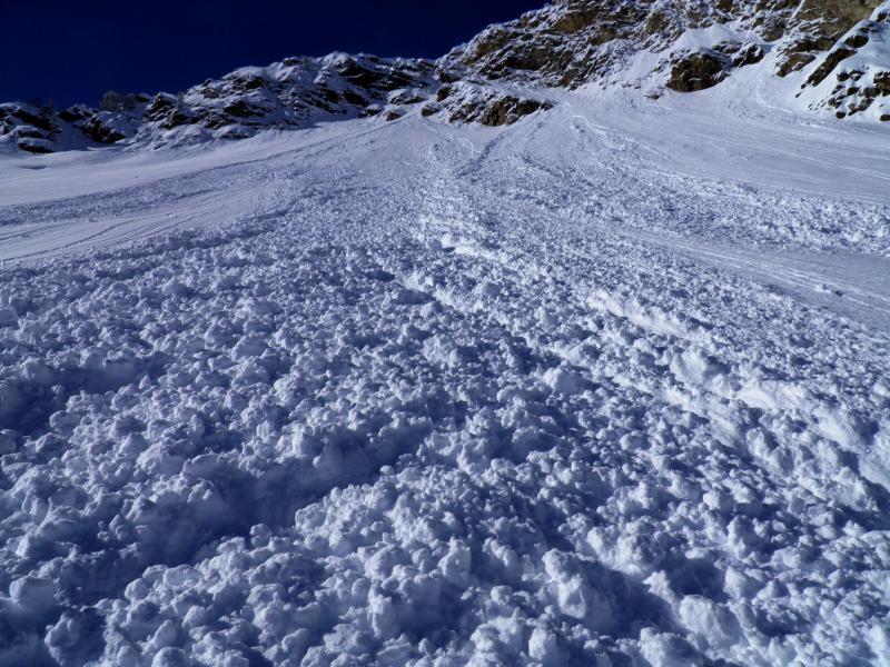
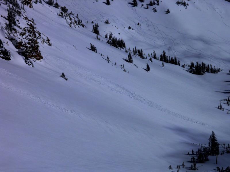
Classic NW flow storm, tracked right up Cardiff fork to Alta, 12 to 16 inches of super light density snow right side up and non wind affected in the terrain covered. Travel today was from the Alta Guard up to East Hellgate before the sun did its thing on the SE facing, then up over Cardiff Peak, entry into Upper Cardiff through the Keyhole, then on to Cardiac Ridge. Snow was starting to go off on E Hellgate around 11:00am, Wet activity was noted off the Toledo cliffs at 11:30 and also on SE facing Cardiac Ridge around the same time. Only activity noted in upper Cardiff Fork was wet activity and some minor sluffing in steeper terrain. Snow amounts were dramatically localized to upper Cardiff Fork and the upper portion of LCC, 14 inches on Cardiac Ridge, 3 down at the mine in Cardiff Fork. The new light density snow got damp rapidly with the morning sun on S facing aspects but the clouds that came in around 12:30 slowed or completely stopped the heating and instantly crusted the surface. No cracking or collapsing or any sort of slab formation noted today. Upper Cardiff Fork seems to have a stable snowpack in most areas, the only place I think that the snowpack is thin is on skiers right side of Holy Toledo from last weeks avalanche to the ground, everywere else has a fairly deep snowpack.
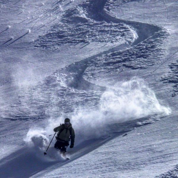
Photos: wet activity on SE facing Cardiac Ridge but by the time we got there it had already cooled down and crusted up, wet activity noted a 11:30 on the Toledo cliffs, what 15 inches of 4% blower powder looks like
Think the main concern tomorrow will be heating from the sun, but the new snow already got a dose of it today which might have settled it out a bit.


