Observation Date
2/3/2016
Observer Name
Toddeo
Region
Southwest » Pahvant Range
Location Name or Route
Pahvant Range - Horse Hollow
Weather
Sky
Clear
Wind Direction
East
Wind Speed
Light
Weather Comments
Slight east breeze on the ridge at 7100'
Snow Characteristics
New Snow Depth
18"
New Snow Density
Medium
Snow Surface Conditions
Powder
Snow Characteristics Comments
Big storm here in SW Utah, 18" at 7000'. 14 in town from the last wave alone and I was told 24" in Kanosh. Generally right side up and capped with 8" of low density.
Pine Creek Snotel - 71" settled down from 81", Pahvants
Big Creek snotel, - 56" settled from 60" , Tushers
Red Flags
Red Flags
Recent Avalanches
Heavy Snowfall
Red Flags Comments
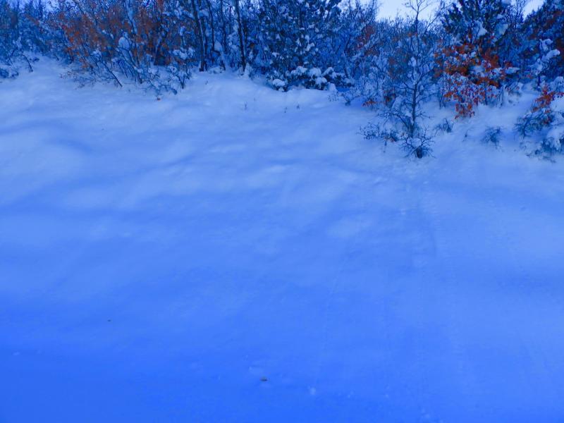
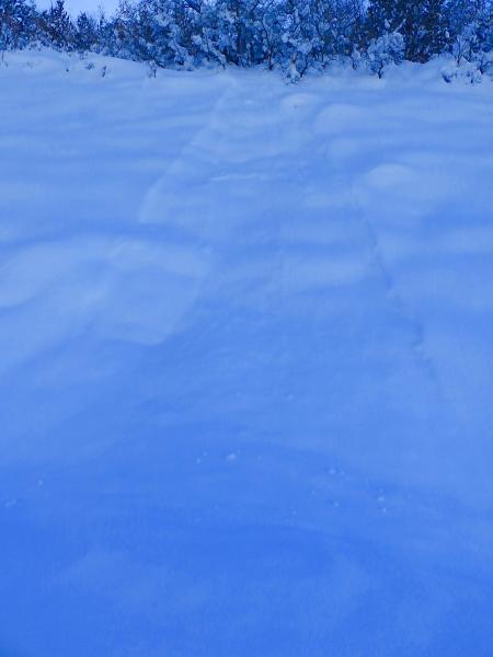
Some activity on steep road cuts, photos below. Anytime this much water weight is added, it is red flag, I would expect a natural cycle occurred in the high country.
I was in the foothills and did not observe any major red flags.
Avalanche Problem #1
Problem
New Snow
Trend
Same
Problem #1 Comments
Some drifting in wind exposed areas and an occasional wind crust about a foot down makes me suspicious of the new snow.
Moderate hazard in this area.
Avalanche Problem #2
Problem
Wet Snow
Trend
Increasing Danger
Problem #2 Comments
With this much new snow and an increasing sun angle, I would be concerned about being on any slopes encompassing the south half of the compass once they start heating.
Snow Profile
Aspect
West
Elevation
6,800'
Slope Angle
30°
Comments
New snow looks like it came in warm and is well bonded to the underlaying crust. Of note is one shear zone about a foot down, Not major but worth noting, it appears to be at the top of the denser snow at the start of the storm.
Photos below, road cut activity on the Chalk Creek Road, both at about 6000' elevation. Bad light.....north facing.
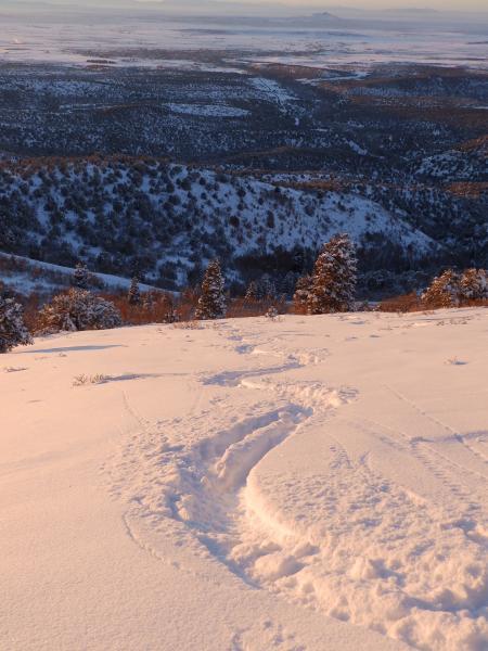
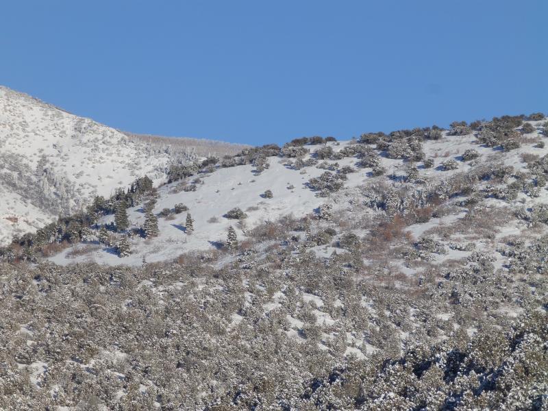
Photos below: foothill skiing and a typical meadow.
Hazard is for area traveled, I would say considerable in the upper elevations.
Today's Observed Danger Rating
Moderate
Tomorrows Estimated Danger Rating
Moderate


