Observation Date
2/1/2016
Observer Name
Andy Farrell
Region
Provo » American Fork » Mary Ellen Gulch
Location Name or Route
Sinner's Pass
Weather
Sky
Obscured
Precipitation
Moderate Snowfall
Wind Direction
North
Wind Speed
Strong
Weather Comments
Hard to tell where the wind was coming from...seemed like it varied from NE-NW. Manageable in the morning but it really ramped up around 1pm. Gusting 40mph+ returning to Mineral via Sinner's Pass at 130pm.
Snow Characteristics
New Snow Depth
6"
New Snow Density
Low
Snow Surface Conditions
Powder
Wind Crust
Snow Characteristics Comments
More amazing skiing on all aspects sampled from 9am-12pm. Wind was starting to do some damage after 12pm with a wind crust forming and scouring taking place in exposed areas. High rates of transport observed at higher elevations (above 9,500)
Red Flags
Red Flags
Heavy Snowfall
Wind Loading
Cracking
Red Flags Comments
Sluffing of new snow on steeper slopes (35 degrees+), only involving the most recent accumulation (4-6 inches). 10-20 ft. shooting cracks observed in one area not effected by wind at subtle convex roll, SE slope in Lower Mary Ellen.
Avalanche Problem #1
Problem
Wind Drifted Snow
Trend
Same
Problem #1 Comments
Seems to be the foremost concern for tomorrow.
Avalanche Problem #2
Problem
Persistent Weak Layer
Trend
Decreasing Danger
Problem #2 Comments
Obviously still a threat on slopes that have avalanched this season. It will be interesting to see if this problem emerges in areas with the full season's snow pack in place.
Snowpit: 200 ft. below Sinner's Pass approaching via Mineral Basin. Quick "cheater" pit on the edge of the cat track (may have influenced historical temp gradient). ECTN
Snow Profile
Aspect
Southeast
Elevation
9,800'
Slope Angle
32°
Comments
HS: 200 cm
ECTP12 Q3 RP @55cm, ECTP18 Q3 RP @55cm. Failure at sun/temp crust. Snowpack was wet below about 80cm.
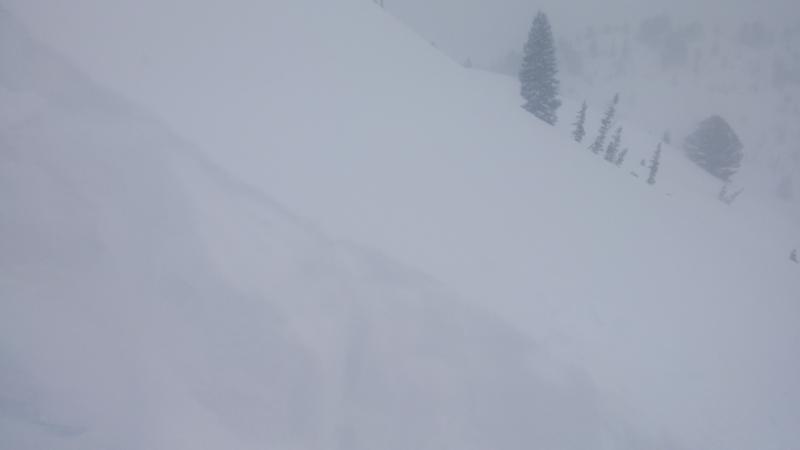
Photo: Snowpit in foreground looking west toward Sinner's Pass.
Today's Observed Danger Rating
Moderate
Tomorrows Estimated Danger Rating
Moderate
Coordinates