
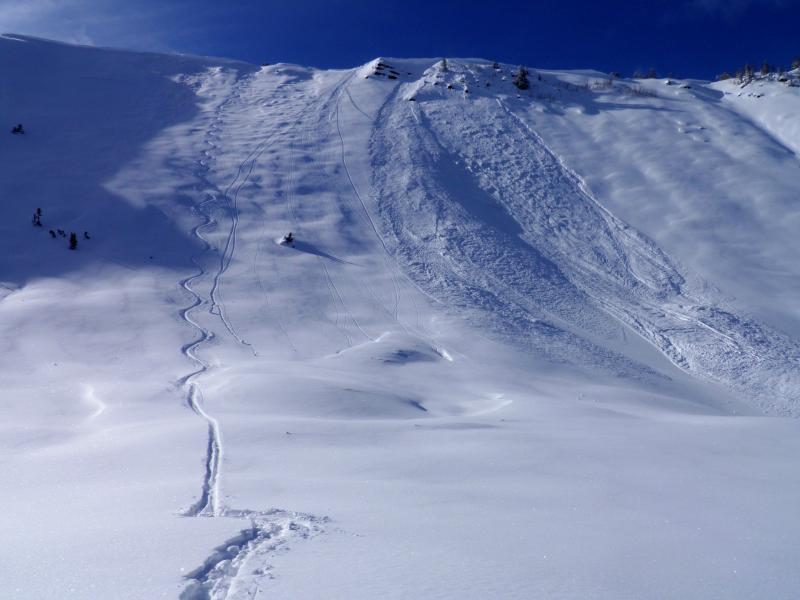
Quiet day in the BC today, only avalanche activity noted was a slide in West Monitor which I put on the avalanche list, there was also sluffing noted in the steeper terrain of Days Fork and Cardiff. The new snow from yesterday afternoon and last night was super low density and easy to sluff out on steeper slopes. No cracking or collapsing noted, not much of a slab anywhere in the terrain covered today just good old fashion non wind affected Utah powder. I did note quite a bit of riming in the trees. I wanted to get into West Monitor because I know we are going into high pressure the next few days and I'm pretty sure with the thin snow pack, caused by it avalanching to the ground last week and the light density snow that now sits on the bed surface its most probable that it will become a repeater with a new load. Did my usual routine when skiing avalanche paths that had already run, entered where there was the least hang-fire, once I got past the hang-fire checked for any slab formation in the new snow, discovered it was about 18 inches of light density sitting and a hard bed surface, the biggest worry was hitting rocks and frozen debris, which I did multiple times, told my partner it was worth hammering her bases and she smartly skipped that run.
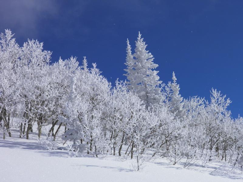
Photos: Heavily rimed trees, track sliding in to the spot with the least amount of hang fire.
Still not ready to trust steep slopes that have not slid or repeaters that have more layering than the new snow on a hard bed surface. I'm thinking that most mid elevation slopes are in the moderate category right now and have adjusted to the new load which was fairly light. But I'm sure there is some high elevation wind loaded terrain that keeps me thinking considerable hazard.


