Observation Date
1/23/2016
Observer Name
Leeds/Kobernik
Region
Southwest » Pahvant Range » Willow Creek
Location Name or Route
Wllow Creek - Pavant Range
Weather
Sky
Broken
Wind Direction
South
Wind Speed
Moderate
Weather Comments
Warm day, moderate south winds in the high country, calm at lower and mid elevations. snow was feeling the effects of the warm weather. Sticky snow on our exit this afternoon.
Snow Characteristics
Snow Surface Conditions
Powder
Dense Loose
Wind Crust
Rain-Rime Crust
Damp
Snow Characteristics Comments
Mixed bag in terms of snow surface. Still lots of settled powder on sheltered aspects. Most southerly aspects were damp and will be crusted tomorrow. Wind exposed areas contain drifts and sastrugi as to be expected.
Trail breaking was difficult, much of the mid elevation snow pack is weakening.
Of note at 8800' on a sheltered north aspect HS= 100cm. Some upper elevation easterly aspects appear to be scoured as evidenced by brushy areas.
Red Flags
Red Flags
Recent Avalanches
Wind Loading
Poor Snowpack Structure
Red Flags Comments
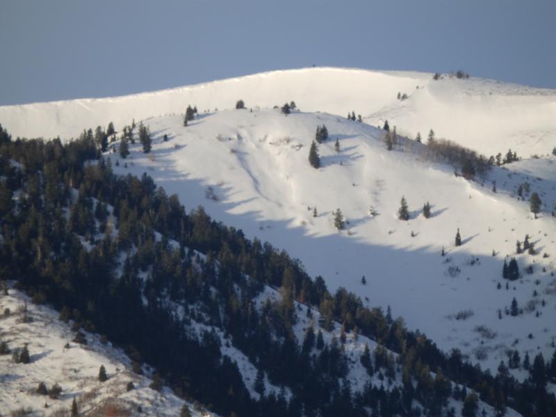
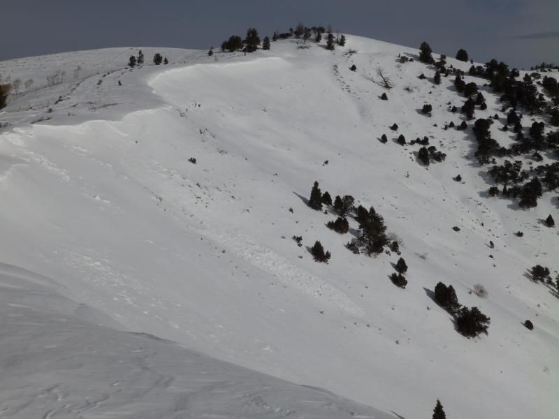
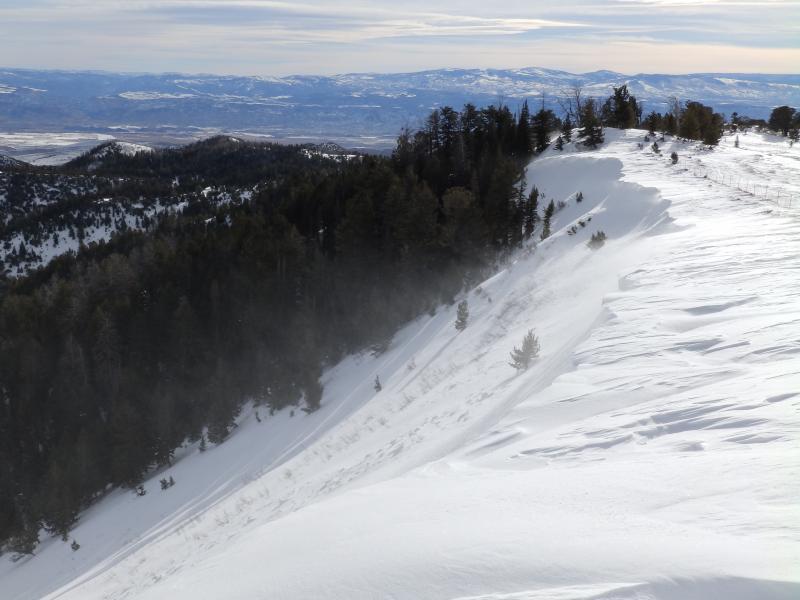
We did not encounter many in-your-face red flags today, although we traveled in a conservative manner. Three photographs of not so recent avalches are included below. These likley happend during the last storm cycle on both northerly and southerly aspects. Still many areas of weak basal facets. Overall the snow in this appears weaker than it did two weeks ago on the west side of the range.
Avalanche Problem #1
Problem
Wind Drifted Snow
Problem #1 Comments
Wind slabs were the primary concern, we avoided the wind-loaded portion of the main slide path in Willow Creek.
Hard call on the danger without seeing red flags. Generally moderate with areas of considerable in wind loaded terrain.
Avalanche Problem #2
Problem
Persistent Weak Layer
Problem #2 Comments
Hazard due to weak basal facets. once again a hard call on the hazard. Likely a low probability situation with the potential for higher consequences.
Comments
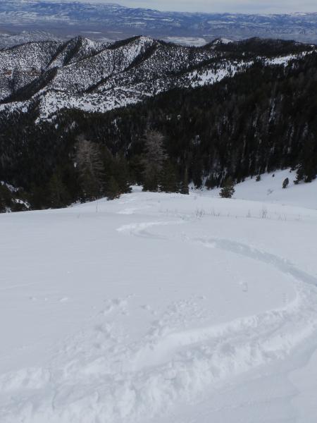
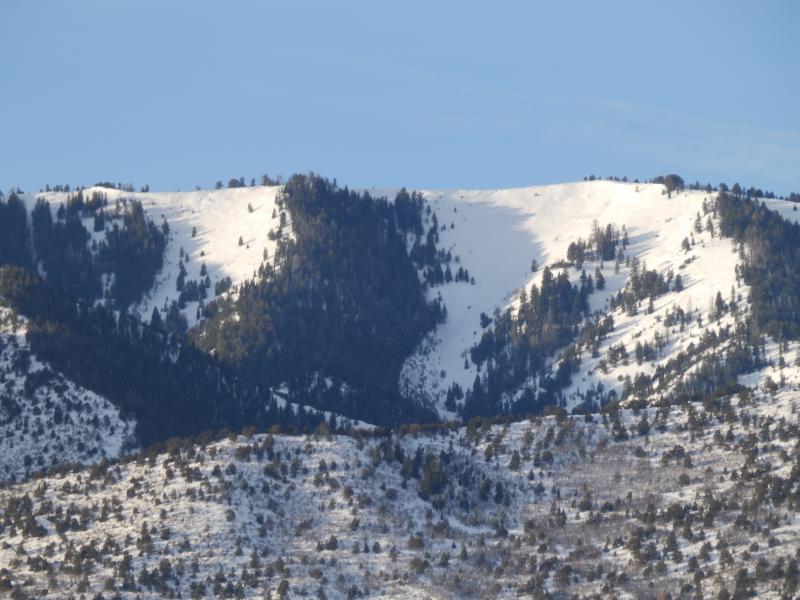
photos below: A sampler of avalanches in the area skied today, note 1st one is taken from the valley NE aspect. 2nd SE aspect, 3rd N aspects likely from cornice drop, also visible is thin snow pack likely scoured due to the east wind event.
This was primarily a recon trip in an area new to both of us, the east side of the pavants, the scale of the slide paths in this area are impressive (1st photo below). 2nd photo of entering slide path with the snow holding up! 3rd photo is view of Willow Creek slide path from HWY 50 in the valley.
Hazard is a hard call, generally moderate with considerable in wind affected terrain. Considerable based on worst case scenario and forecasted new snow.
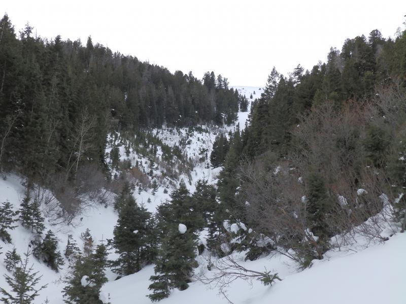
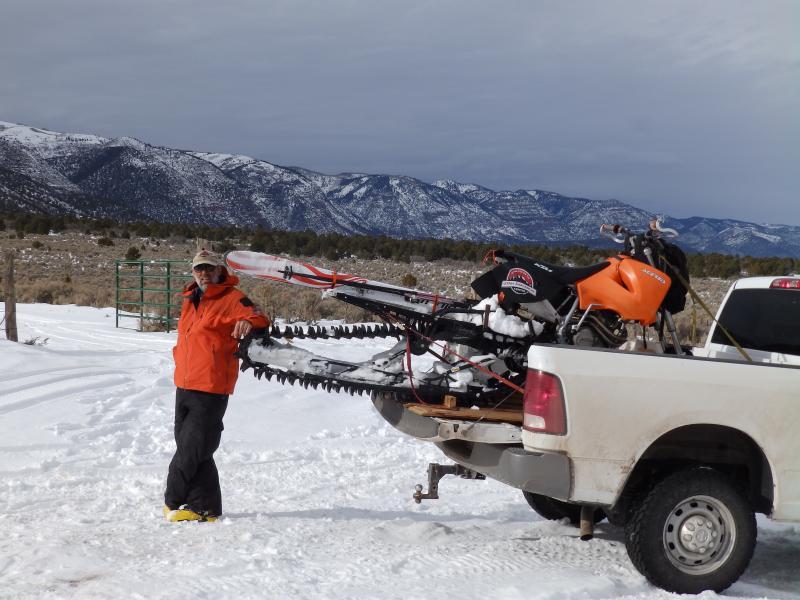
Final photo needs no explanation.
Today's Observed Danger Rating
Considerable
Tomorrows Estimated Danger Rating
Considerable
