Observation Date
1/15/2016
Observer Name
Malone
Region
Salt Lake » Big Cottonwood Canyon » Silver Fork
Location Name or Route
Brad's Line, Silver Fork
Weather
Sky
Overcast
Precipitation
Light Snowfall
Wind Speed
Calm
Weather Comments
Surprisingly calm along the 9600' ridges and below, though we could hear wind above us. We were out during the window between storms this morning.
Snow Characteristics
New Snow Depth
8"
New Snow Density
Low
Snow Surface Conditions
Powder
Snow Characteristics Comments
Very light density powder, running on the melt freeze crust and faceted old snow surface on steeper slopes.
Red Flags
Red Flags
Poor Snowpack Structure
Red Flags Comments
Melt freeze crust, felt most easily on SE and E, less prominent or absent on NE slopes. Crust is 2 cm thick with near surface facets below. Deep pack remains faceted but basal facets were wet.
Avalanche Problem #1
Problem
New Snow
Trend
Increasing Danger
Problem #1 Comments
This is a very manageable problem at the moment (in forgiving terrain, especially): loose sluffs of light density snow. Tomorrow's forecast is for significantly higher density snowfall with more water and more wind, which could change this to storm or wind slab and an upside down upper pack.
Avalanche Problem #2
Problem
Persistent Weak Layer
Trend
Increasing Danger
Problem #2 Comments
With enough water and wind in the series of coming storms, the weight could tip the balance to fail on the NSF below the crust. Photos below of both the stout crust and near surface facets.
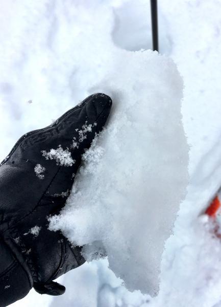
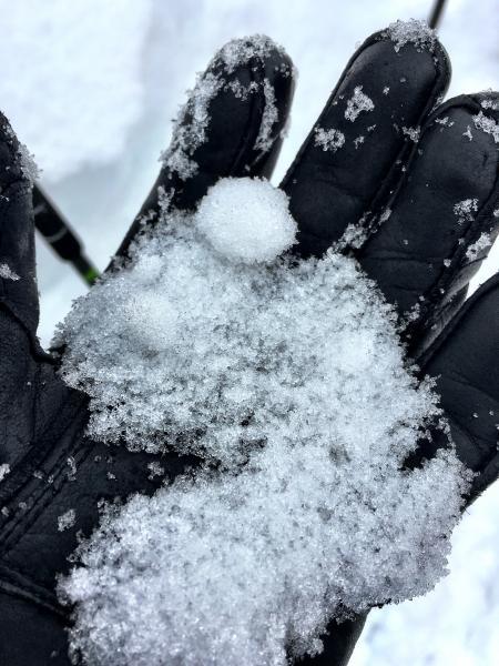
The danger will remain moderate below 9500' but increase if p.m. storm totals bring significant water weight and winds.
Today's Observed Danger Rating
Moderate
Tomorrows Estimated Danger Rating
Moderate