
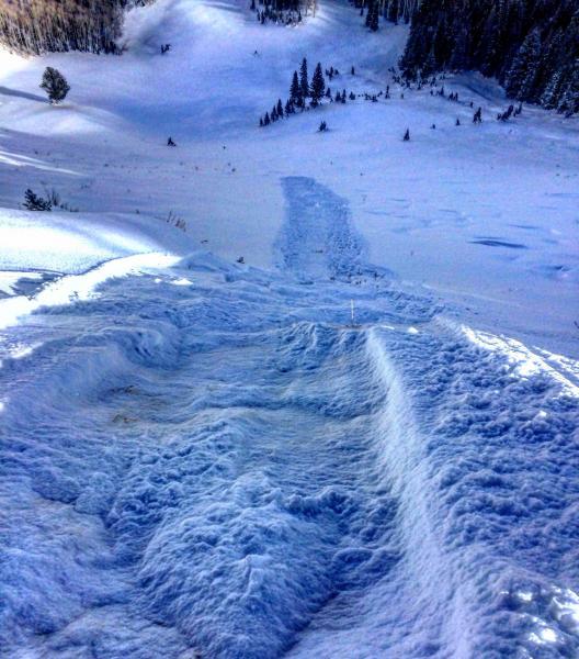
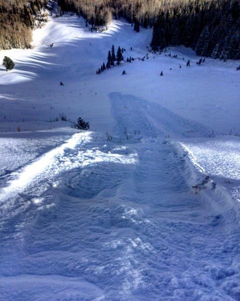
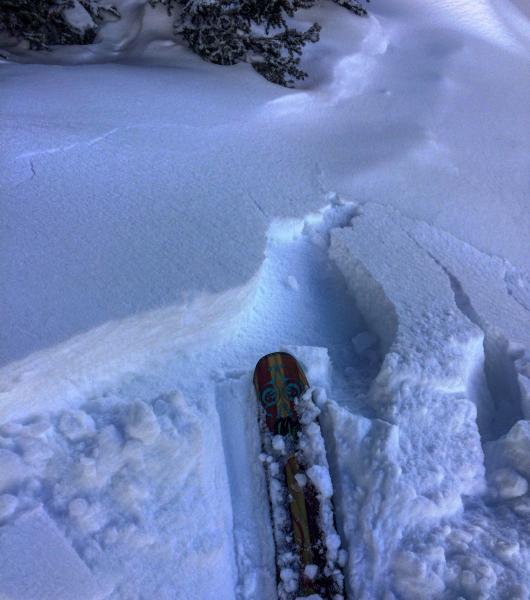
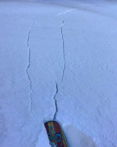
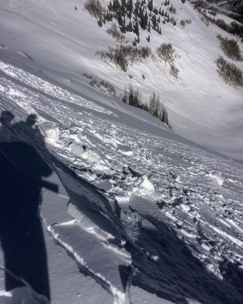
Went to have a look at what effect the new snow from today and the wind from yesterday was having on the stability of the snow pack. In places that had a wind skin or crust from yesterdays and todays strong winds like Scotts Peak and the Monitors there was shallow sluffing in the new snow running a fair distance and cracking in the stiffer snow on the ridge line. No Name Bowl was a whole different animal, wind sheltered north facing and mid elevation, there was no wind damage from yesterday and the whole pack is faceted to the dirt. I could trigger long running sluffs gouging down to the dirt and entraining large quantities of snow from cracking out wind drifts on the ridge line, thinking that the more wind exposed slopes my hold more of a load on the wind crust over facets, than the weaker snow-pack in more sheltered areas like No Name, but that just means the avalanches may be larger and more dangerous in the areas with a wind crust if we get enough of a load to tip the scales.
Photos: Long running and deep gouging sluffs in No Name, sensitive drifts cracking out on faceted snow on the ridge line, shallow sluffing in the more exposed terrain like Scotts Peak.
Hazard depends on wind loading and new snow amounts, the wind was cranking when I left at 3:30 and I think wind loading may be the key to increased hazard.


