Observation Date
1/5/2016
Observer Name
Ted Scroggin
Region
Uintas » Bear River Ranger District » Gold Hill
Location Name or Route
Gold Hill Basin
Weather
Sky
Overcast
Wind Direction
Southwest
Wind Speed
Moderate
Weather Comments
There was a brief window of decent weather early this afternoon and I quickly traveled to Gold Hill. Overcast skies and gusty southwest winds along the higher ridgelines transporting snow.
Snow Characteristics
Snow Surface Conditions
Dense Loose
Wind Crust
Snow Characteristics Comments
Much of the exposed terrain has been worked over by the steady winds, but there is still places with settled soft snow in the protected areas free of old tracks.
Red Flags
Red Flags
Wind Loading
Cracking
Poor Snowpack Structure
Red Flags Comments
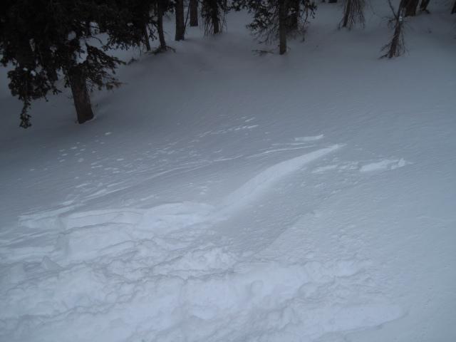
Fresh wind slabs mainly on the northeast facing slopes were the main concern I observed today. These were manageable in size, breaking at my skis and sled and only several inches deep. Many of the drifts were pretty welded in place right now, but I did not see a lot of terrain today.
Avalanche Problem #1
Problem
Wind Drifted Snow
Trend
Same
Problem #1 Comments
Some of the shallow snowpack areas like Gold Hill and Mill Creek would be places where these wind slabs might be more likely to be triggered where there is still more developed sugary snow near the ground.
Avalanche Problem #2
Problem
Persistent Weak Layer
Trend
Same
Problem #2 Comments
Thinner snowpack areas are still more prone to see a human triggered avalanche.
Comments
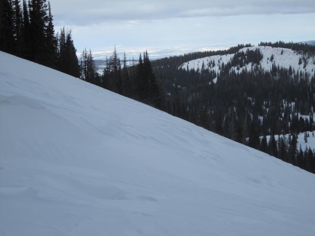
Much of the exposed terrain is quite wind hammered and I was finding this to be the case more on east facing slopes. A poor picture of the wind textured snow along the high ridgeline in Gold Hill.
I was finding a few shallow wind slabs that broke at my skis and sled and only several inches deep.
Nice late afternoon sky with maybe some approaching weather and new snow?
Today's Observed Danger Rating
Moderate
Tomorrows Estimated Danger Rating
Moderate