I tested the new Avatech SP2 snow profile sampling tool today and compared it to my own manual observations. I was pretty impressed with the results. More to come on that soon.
The thing to note in the snow profile is that in this spot which is about 4 feet deep, the weak sugary snow near the ground has increased in hand hardness which means it is slowly strengthening. This is what we like to see.
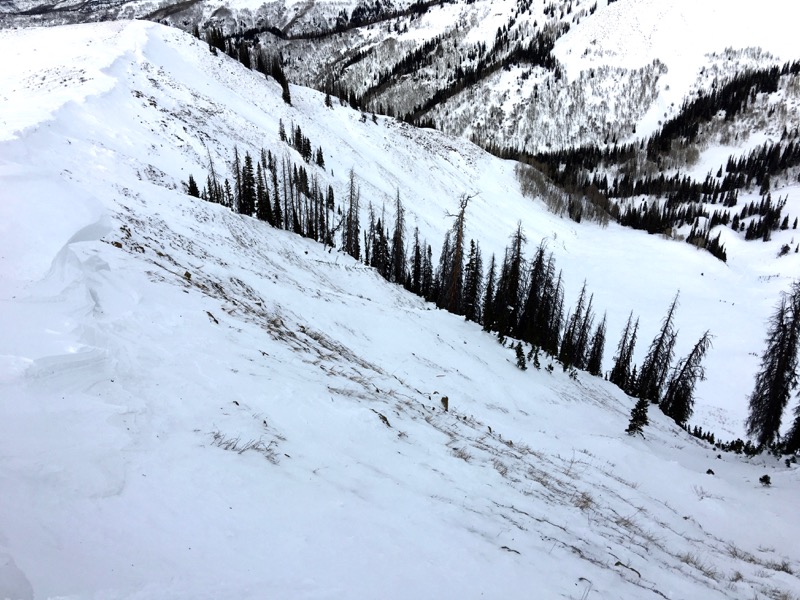
Below is a photo of a fresh drift that formed on New Year's Day. These should be avoided if you find them on steep slopes.

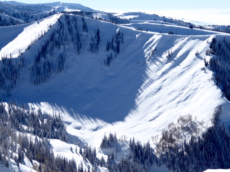
One of the main reasons I went up today was to look at the bed surfaces of some of the avalanches that ran naturally last week. It appears that these most likely released on Christmas Day during a very intense period of high snowfall rates. Below is a photo of an avalanche in Pleasant Creek after about 5 to 7 inches of new snow fell on the bed surface. The photo was taken on Dec 31st.

The photo below here was taken today. The New Year's east wind has stripped all of the new snow off the bed surface and perhaps some of the facets that were left behind the avalanche as well.

More photos from this avalanche found HERE
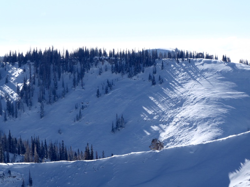
The same thing happened in Coal Fork. Below photo from Dec 31 showing the 5 to 7 inches of new snow on top of the bed surface.

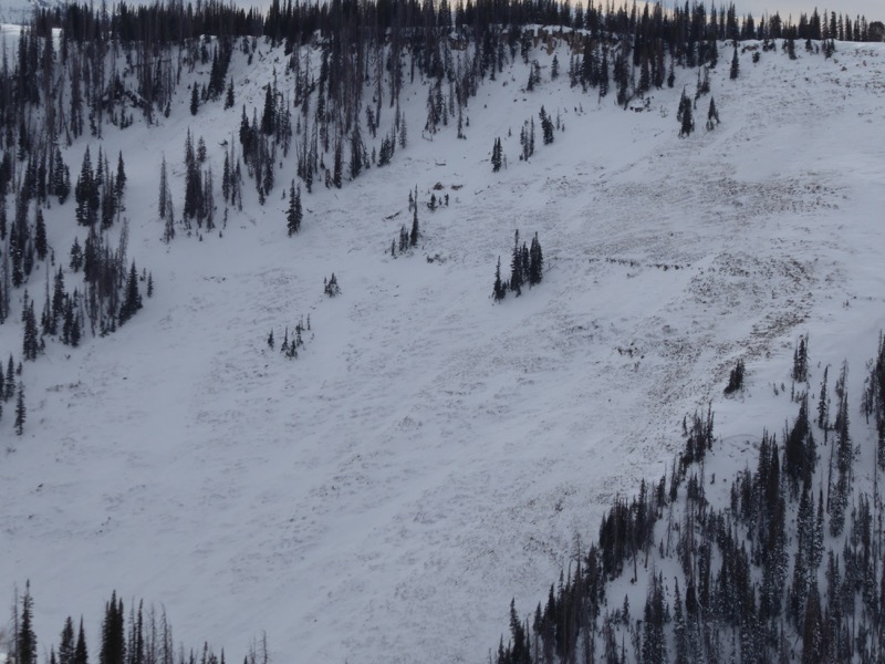
The next photo below is from today showing the bed surface has been stripped

What interests me is that it seems there is very little old weak faceted snow left in these slide paths. This may be a good thing or it may be a bad thing depending on what the weather does in the future. We could start to consistently add new snow and these paths get a fresh start in a good direction. Or we could add just a little snow and then see the weather go high and dry which would rot out that snow creating faceted weak sugary snow again. Time will tell and we'll monitor the situation closely.
Finally, here's a video documenting one of the large avalanches in Pleasant Creek.


