Observation: Timpanogos

Observation Date
12/29/2015
Observer Name
Wilson, Kobernik
Region
Provo » Provo Canyon » Timpanogos
Location Name or Route
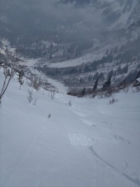
Woolly hole, UFO bowls
Weather
Sky
Obscured
Precipitation
Light Snowfall
Wind Direction
West
Wind Speed
Calm
Weather Comments
Temps in the midteens, started sunny and became obscured by mid afternoon, then overcast. Wind calm enough to allow for gigantic feathery stellars to fall intact, lubricating the uptracks and making ethereal the downtracks.
Snow Characteristics
New Snow Depth
1"
New Snow Density
Low
Snow Surface Conditions
Powder
Melt-Freeze Crust
Snow Characteristics Comments

Similar snowpack to that seen in Central Wasatch, with a few adjustments. Total depths are lower, averaging perhaps 3' and measuring 85cm at the Timpanogos divide snotel site at 8,140'. The slab was strong enough to keep a snowbike (or sled) from sinking to facets, but in our mid-elevation northeast-facing pit it seemed softer than similar locations in the tricanyons. Additionally, some south aspects at low-to-mid elevations are missing the facet layer entirely: Early December snow probably fell on dry ground.

Surface was very low density powder on medium density powder: yum! Bit of a melt-freeze crust (presumably) on some south facing slopes.

Red Flags
Red Flags
Poor Snowpack Structure
Red Flags Comments
Skied nice powder overlying hard avalanche bed and debris below Woolly Hole, and decided to wait for solid (rather than simply bridged) foundation before skinning up any of the UFO bowls. Poor visibility prevented us from determining if bits of debris in those paths represented path-wide slides or just smaller side events. Other parties of skinners and sledders had no such hesitation, and they faired fine.
Comments

Low density, feathery snow more reminiscent of woolly aphids than of any other form of precip.

Avalanched terrain allows a fret-free tour in avalanche terrain. In other words, choose a slope that has already avalanched for better odds of not taking a ride.

Today's Observed Danger Rating
Moderate
Tomorrows Estimated Danger Rating
Moderate