Observation: Whitney Basin

Observation Date
12/29/2015
Observer Name
Ted Scroggin
Region
Uintas » Bear River Ranger District » Whitney Basin
Location Name or Route
Whitney Basin-Humpy Peak
Weather
Sky
Broken
Precipitation
Light Snowfall
Wind Direction
Southwest
Wind Speed
Light
Weather Comments
Things are staying quite cool on the north slope, still single digits in the morning at the trailhead and only warming-up slightly. Lights winds, increasing clouds this afternoon and very light snowfall as I was leaving the higher terrain.
Snow Characteristics
New Snow Depth
3"
New Snow Density
Low
Snow Surface Conditions
Powder
Faceted Loose
Snow Characteristics Comments
The snow conditions continue to improve with supportable snow in most areas, however there is still unsupportable conditions around bushes and other terrain features.
Red Flags
Red Flags
Wind Loading
Poor Snowpack Structure
Red Flags Comments
I observed very few red flags in my travels, there was some minor wind drifting along the very exposed high ridgelines on the north side of the compass. No cracking or collapsing, but looking at all the old debris from the big natural avalanche cycle and the many slopes that have not avalanched, I'm still leering of much of the steeper terrain in this area.
Avalanche Problem #1
Problem
Persistent Weak Layer
Trend
Same
Problem #1 Comments
I think as time goes on, many slopes will get ridden without incident which is a good indication the snowpack has settled and adjusted to things. But with such weak faceted snow near the bottom of the snowpack, there are still areas where the slab is thin and a person can still collapse the slope and trigger a sizable avalanche.
Comments
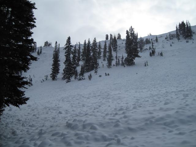
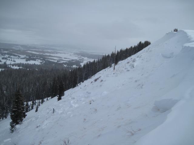
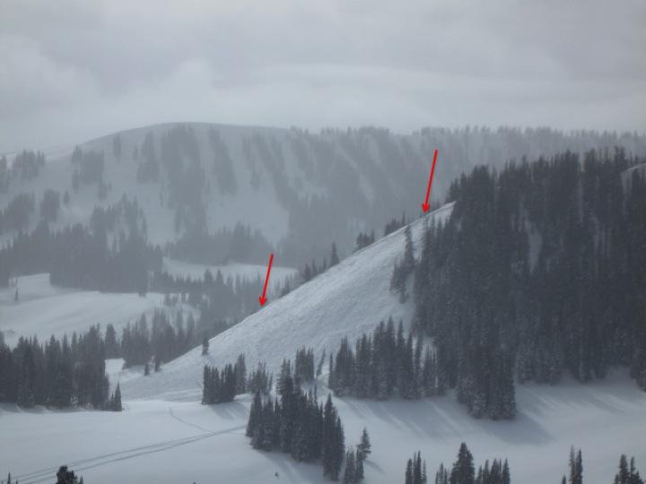
Old news, but I'm still impressed with the natural avalanche cycle the area went through with the big holiday storm. A good portion of the north facing terrain on Humpy Peak avalanched to the ground leaving some impressive debris piles. Much of this area along the ridge line is steep thin and rocky and would be likely places to see avalanches with such a heavy wet storm and strong winds.
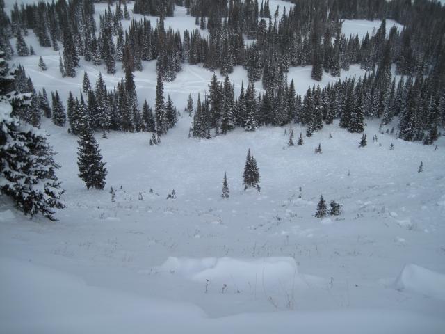
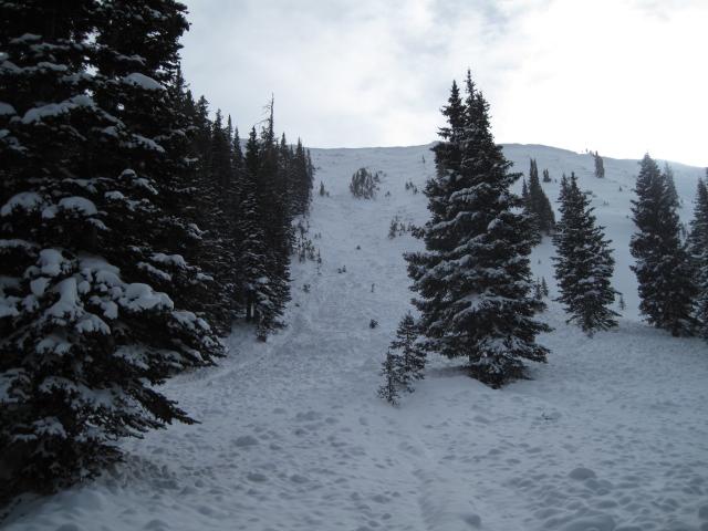
I believe this was a sled triggered slide from Saturday 12/26. It is a northeast facing slope around 9,800'and it avalanched to the ground.
Today's Observed Danger Rating
Moderate
Tomorrows Estimated Danger Rating
Moderate