Observation: Big Springs

Observation Date
12/23/2015
Observer Name
Tyler Falk
Region
Provo » Provo Canyon » South Fork Provo R. » Big Springs
Location Name or Route
Big Spring Hollow
Weather
Sky
Overcast
Precipitation
Light Snowfall
Wind Direction
West
Wind Speed
Light
Weather Comments
Light wind out of the west most of the day off the ridgelines. Periods of broken sky in the early afternoon trending to overcast and then obscured sky on the exit with light snowfall. (S1)
Snow Characteristics
New Snow Depth
15"
Snow Surface Conditions
Powder
Dense Loose
Snow Characteristics Comments

Hard to tell how much new snow in the last 24 hrs with the blowing winds. Maybe 38cm in the last day. Wind damage and transport was seen all the way down to the trailhead elevations in unsheltered spots. Looks like 70cm of storm snow from the last few days at 7500ft on a East aspect.

Red Flags
Red Flags
Recent Avalanches
Heavy Snowfall
Wind Loading
Poor Snowpack Structure
Red Flags Comments
Suprised to see no real cracking, collapsing or reactions on test slopes although I was out after the height of instibility and after the natural cycle. Still plenty of red flags with the large avalanche cycle in the Provo mountains, clear transport on ridgelines, lots of new snow, poor structure and a slab on top.
Avalanche Problem #1
Problem
Persistent Weak Layer
Trend
Same
Problem #1 Comments

I was expecting to see more signs of instability within or at the interface of the new storm snow but persistent slab problems seams to be what I found most reactive while digging today. ETCP 7 Q1/SP on East aspect around 7300ft at 25cm on 2mm facets.

Avalanche Problem #2
Problem
New Snow
Trend
Decreasing Danger
Problem #2 Comments

Storm slabs seam likely to step down into deeper slides. Saw a few small fractures with in the new snow, likely on a density change a few inches down.

Snow Profile
Comments

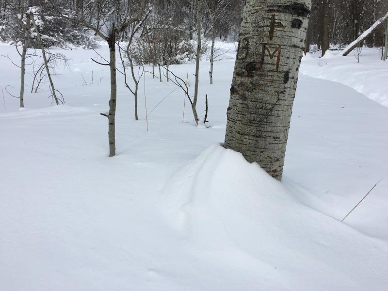
Photo 1 Winds from the East before they switched to the West/Northwest below treeline.

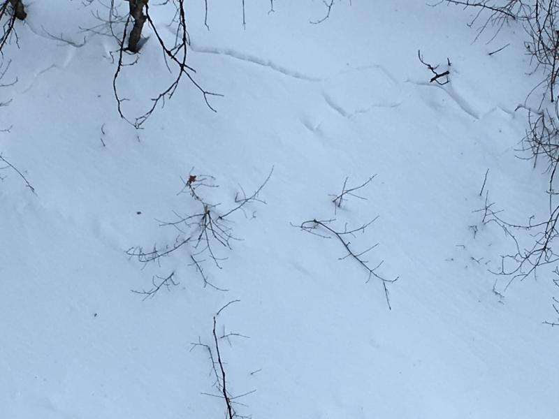
Photo 2 Insatiability in the storm snow possible density change.

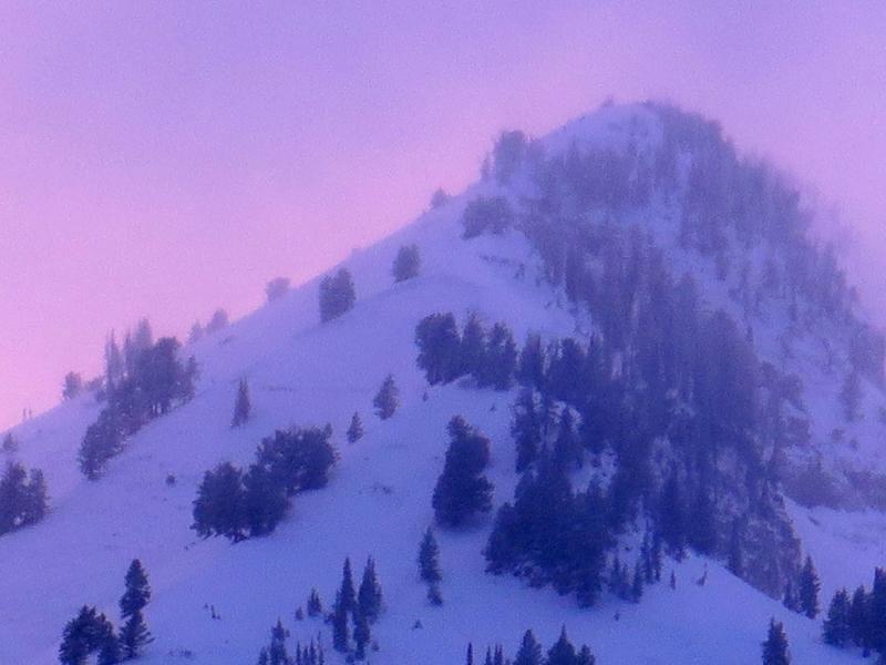
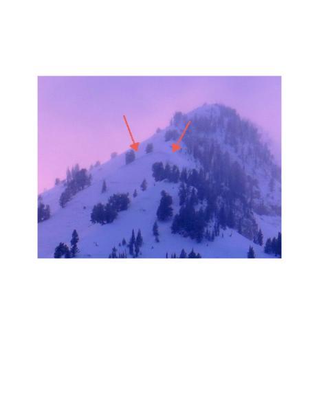
Photo 3 Possible slide

Today's Observed Danger Rating
High
Tomorrows Estimated Danger Rating
High
Coordinates