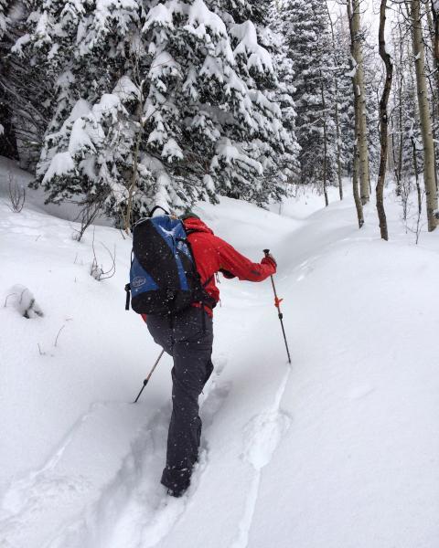
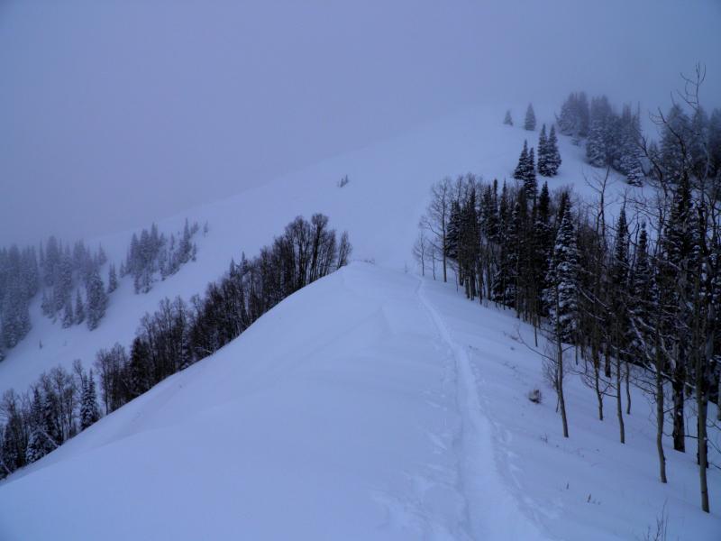
Hadn't been to Reynolds peak all winter today seemed like a good day for it. Good to see that most people are listening too the avalanche warning, didn't start walking until about 10:30, most people were skiing the low angle in Short swing and the surrounding area once we got to the turn off to Tom's Hill the skin trail ended. There was about 14 of inches of new light density snow on the old skin track from yesterday, trail breaking wasn't bad until we hit the base of Reynolds Peak, then it got a bit strenuous. We were thinking that Reynolds NE face might have already avalanched naturally but it hadn't, and we were not getting any cracking or collapsing while breaking trail. We did note one fairly large natural avalanche mid way down a SE facing slope coming of of the Wilson- Alexander headwall back into Buttler Fork, but the light was too bad for a photo. I think the natural activity was wide spread but visibility limited viewing it.
Photos: Fred breaking trail to Dog Lake, and Reynolds Peak still holding all its snow pack.
It would be hard to call the hazard anything but high tomorrow not knowing the extent of any natural avalanche cycle and more snow on the way tonight, snow pack structure still stinks, time and settlement is needed.


