
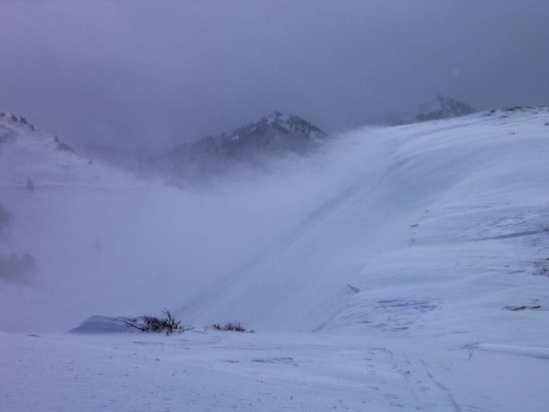
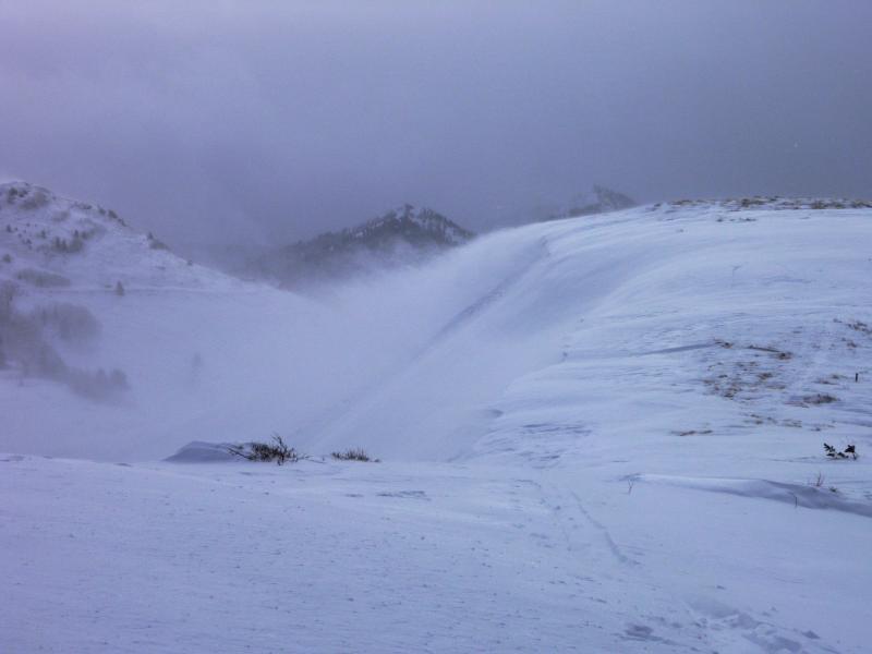
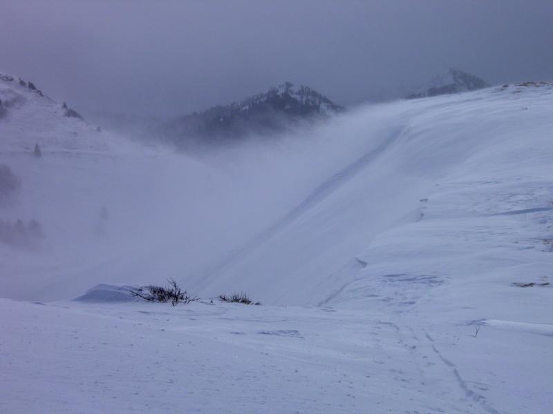
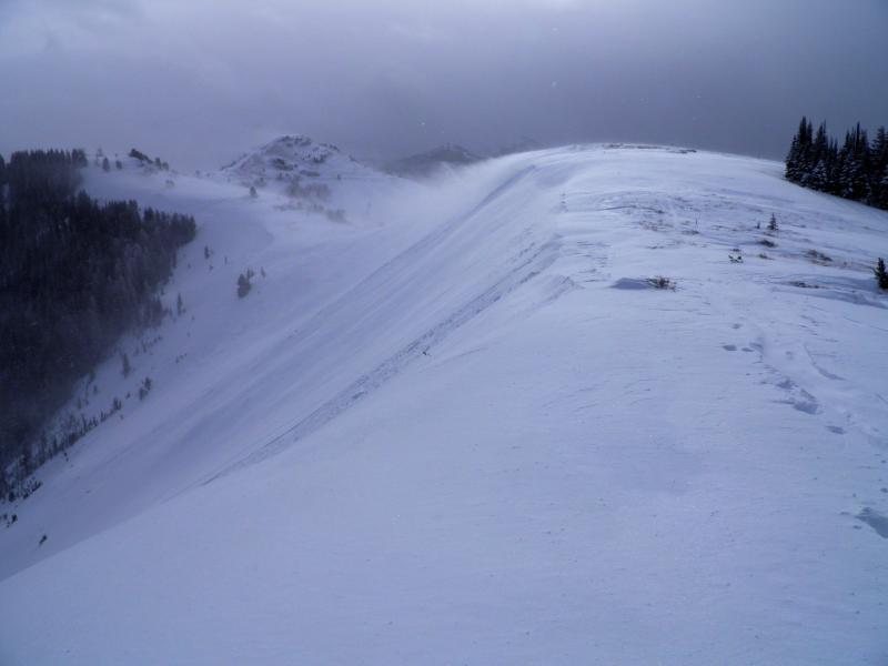
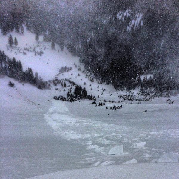
Headed up Willow to the PC Ridgeline thinking there would be some skiing on the low angle S and W facing, before the storm arrived, once we got there we realized that the prefrontal winds were nuking in the strong category from the SW, scouring and slabbing up the S facing. Took a look into West Monitor there were a couple natural cornice drops had created some sluffs in the new snow but that was the extent of it. We had some decent visibility at this point and decided to look into South Monitor before we lost it. The wind was loading massive amounts of snow into both bowls at this point and had the luck to spot a cornice calve of naturally and start a new snow avalanche, I put that on the Avy page. We had already experienced some cracking on the ridge line, and when we were hiking out of the N facing ridge line between the two bowls after skiing it we experienced a couple loud collapses. So by this time we had experienced cracking, collapsing, it was snowing heavily, the wind was loading N aspects and we had witnessed a avalanche, that's about every red flag in the book. Seems like its only going to take a little more load and wind before we start seeing the avalanches break into old snow and likely step down to the ground. The wind loading was the story of the day, I was really impressed with the amount of snow that was being transported into both Monitors.
Photos: wind loading, and a couple photos where you can see the slide we saw triggered and a older slide right off the top that happened before we arrived.
I"d say high for upper elevation, N,W,E steep, wind loaded terrain, considerable for other terrain, If we do get a large amount of dense snow I would call it high across the board.


