Sign Up for the Utah Snow and Avalanche Workshop (USAW) on December 7th!

Observation: Maple Canyon

Observation Date
12/19/2015
Observer Name
Toddeo
Region
Southwest » Pahvant Range » Maple Canyon
Location Name or Route
Maple Canyon, Burn Area
Weather
Sky
Clear
Wind Direction
South
Wind Speed
Light
Weather Comments
Warm day, felt more like March or April. Light winds this afternoon, but I did observe large plumes in the Tushers and Pavants while drivng up I-15 this morning, enough to warrent concern.
Snow Characteristics
Snow Surface Conditions
Powder
Faceted Loose
Wind Crust
Melt-Freeze Crust
Damp
Snow Characteristics Comments

Mixed bag, started skiing at 6200' or so, all sunny aspects were damp at this elevation. some wind crusts on the ridge I walked to at 7500'. Some crusts in the shade while skiing out this afternoon.

Surface hoar on many aspects today.

Mid elevation snowpack appears stronger than I expected, surface is weakening and it is still possible to push a pole basket 24" to the ground, however, it is not as easy if the snow pack was faceted/rotted.

HS= approx 24" at 7000, Not bad!

Red Flags
Red Flags
Wind Loading
Poor Snowpack Structure
Red Flags Comments
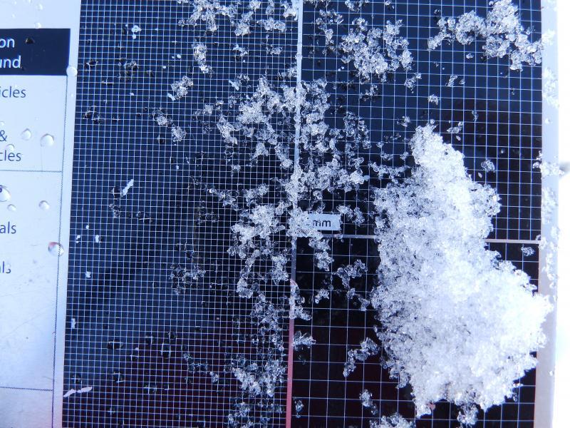
Wind plumes I observed this morning likley mean loading onto upper elevation north apsects. I did also observe some snow blowing around at the mif elevations, much calmer this afternoon. Facets at the base of the snow pit I dug at 7500', I would imagine they are more pronounced and wekaer/dryer at higher elevations.
Avalanche Problem #1
Problem
Persistent Weak Layer
Trend
Same
Problem #1 Comments

Moderate hazard in the area I traveled today, mid elevation.

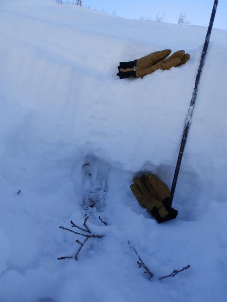
20"+ sitting on top of basal facets at 7500', I would speculate considerable hazard on upper elevation north aspects. The Pavant's did well last week and I expect a large, new load on the basal facets combined with wind loading today.

Avalanche Problem #2
Problem
Normal Caution
Trend
Same
Problem #2 Comments

Normal caution for a still thin early season snow pack, went to look at a large burn area that still had many obstacles, snowpack needs to consolidate.

Snow Profile
Aspect
North
Elevation
7,500'
Slope Angle
30°
Comments

Not able to spot the snowpit location on my Ipad, northern pavants, west side.

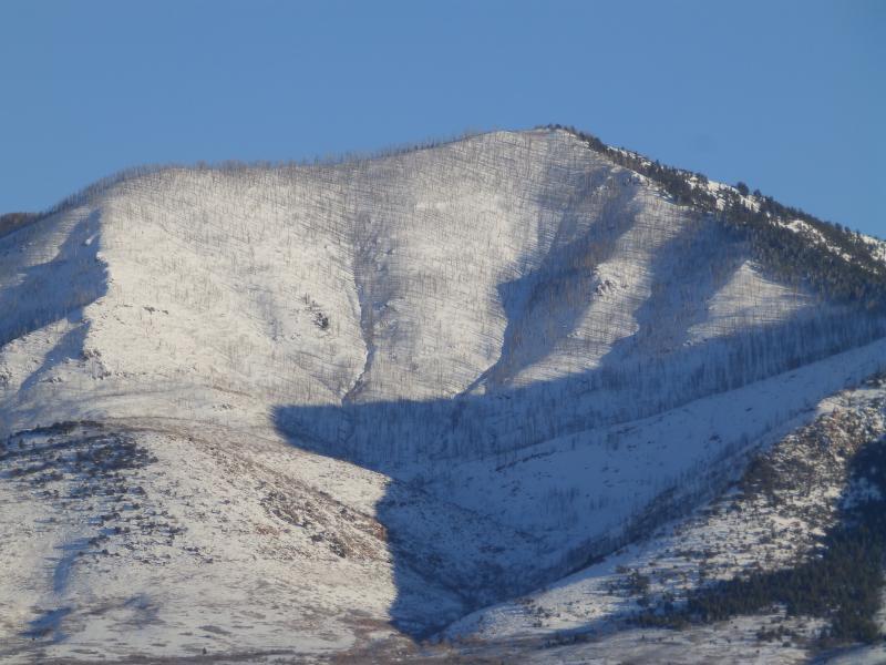
went to look at a new area, giant burn area with n, w and s aspects.

Photo of pit, bottom glove marks basal facets. Facets in 2nd photo.

Photo below is terrain I went to look at today. Visible from I-70. Still able to 4WD into some of the terrian.

Pine Creek snotel has settled from 53" to 42" this week.

Snow depths in the Tushers range from 20" at Big Flat to 28" at the Kimberly Mine just south of I 70.

Hazard is based on what I imagine for the upper elevation north aspects, moderate elsewhere. A lot of transport onto norths today.

Today's Observed Danger Rating
Considerable
Tomorrows Estimated Danger Rating
Considerable