Went out in search of continued good ski conditions on low-angled slopes, and also wanted to look first-hand at the activity along the PC ridgeline. Despite a pesky rain/rime crust, lower angled slopes are still skiing well, and as the slab stiffens up with warming temps, settlement, as well as some wind drifting, it is still possible to find supportable conditions in low-angled terrain.
The slides from South Monitor are impressive, and somewhat surprising they did not connect a larger area.
Have been out the past couple of days and am noticing quite a bit of settlement with the snowpack between 9-10k now about 60-75 cms (3 - 3.5') where I was measuring up to a meter on Tuesday.
Despite the storm snow slab now stiffening a bit, still unable to get any propagation on extended columns the past two days. Compression tests and ECTs are still showing depth hoar down near the ground the weak layer with very low scores (CT1 - CT10 and ECTN1 - ECT10). Was hoping to find some wind deposits on gentle ridgeline that separates South and West Monitor to see if tests would show propagation of the slab, but no recent drifts were found in this area.
As is often the case, was finding a particularly weak snowpack along PC ridgeline with sandboxing in faceted well down off West Monitor Sneak.
Good to see people sticking to lower angled terrain. Apart from recent avalanches and only a few collapses, am thinking we are heading back to the period where the instability is not in your face, so some may opt to venture onto steeper north-facing aspects. Seems the key to doing so is diligently checking there is no cohesive slab on top, but I personally still don't trust this snowpack.
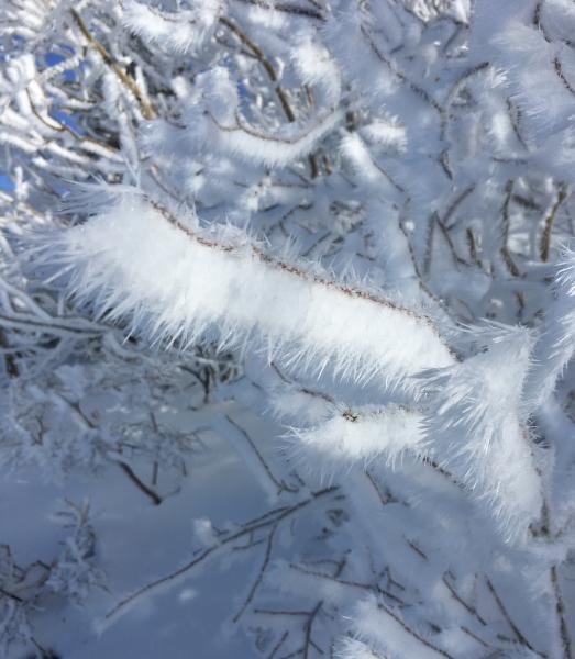
Riming on aspen branches while ascending towards PC ridgeline.