Observation: Snowbasin Backcountry

Observation Date
12/18/2015
Observer Name
Kory
Region
Ogden » Snowbasin Backcountry
Location Name or Route
Snowbasin Ridge Line
Weather
Sky
Few
Wind Direction
Southwest
Wind Speed
Moderate
Weather Comments
As always the wind was blowing in the Ogden Mountains. Even with the new rime crust I was seeing wind trasported snow. Warm conditions but I do not think the sun will be out long enough for any wet activity today but maybe tommorrow.
Snow Characteristics
New Snow Depth
3"
New Snow Density
Medium
Snow Surface Conditions
Rain-Rime Crust
Snow Characteristics Comments

Rime Crust. The great skiing we had all week is gone. I hope you got it while it was good. Today was a good day to catch up on the weeks work because of the poor riding conditions. This rime crust is wide spread. On all aspects and elevations in the Ogden mountains. With the warming temps and strong sun it may go away on south aspects at lower elevation.

Red Flags
Red Flags
Recent Avalanches
Wind Loading
Cracking
Rapid Warming
Poor Snowpack Structure
Red Flags Comments
5 out of 7 today. Once again no movement on a persistant slab in the Ogden Mountains. I did see 4 Natural wind slab avalanches in higher terrain that is always suspect to loading in the Ogden Mounains. One of the slides was D2, Very Hard wind slab about 2.5 ft deep.
Avalanche Problem #1
Problem
Wind Drifted Snow
Trend
Decreasing Danger
Problem #1 Comments

Last nights wind and even with the rime today we are seeing lots of wind loading. Appears to be sliding on a density change from the Wednesday dec 16th night storm to the Thursday dec 17 night storm. Where I was seeing the easy sheer in ECT and Shovel Tilt. Decreasing danger because these have sat now for over 24 hours.

Avalanche Problem #2
Problem
Wet Snow
Trend
Increasing Danger
Problem #2 Comments

I honestly think this could be the way to pull out some naturals in the Ogden Mountains tomorrow with the warming temps and poor structure.

Snow Profile
Aspect
Northeast
Elevation
8,600'
Slope Angle
20°
Comments

I would also say that the persistent slab is my main concern because it is the loaded gun that we can not seem to find the trigger for. It is only time till someone finds the right spot, or an explosive in the right spot, or a step down from a wind slab. My guess would also be on a N-NE aspect that is where I have seen the most results in Pits and the most dry facets.

According to all the locals on the northern side of the Ogden Valley there is still not enough snow to really ski at all in the Ben Lomond/Cutler areas. I drove up to Monte today and it was packed house (well for a Friday in December) much better snow cover than a week ago. Maybe after next week we will finally have something to work with in the Ogden Mountains.

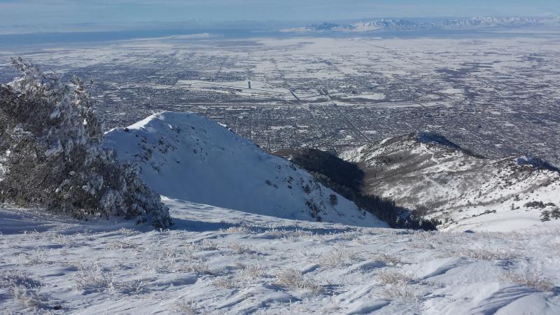
Photo 1 Malans Basin

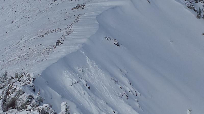
Photo 2 Natural D2 Wind Slab in Middle bowl Cirque

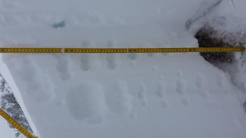
Photo 3: Snow profile photo

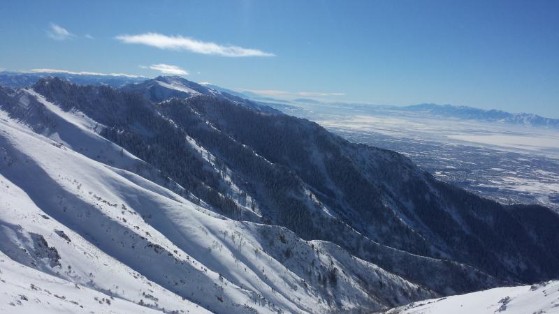
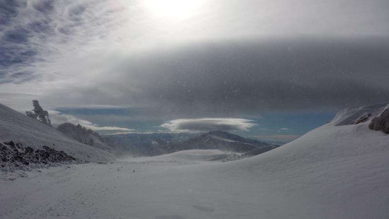
Photo 1: Birch Creek Drainage

Photo 2: Just pretty skies looking south

Video

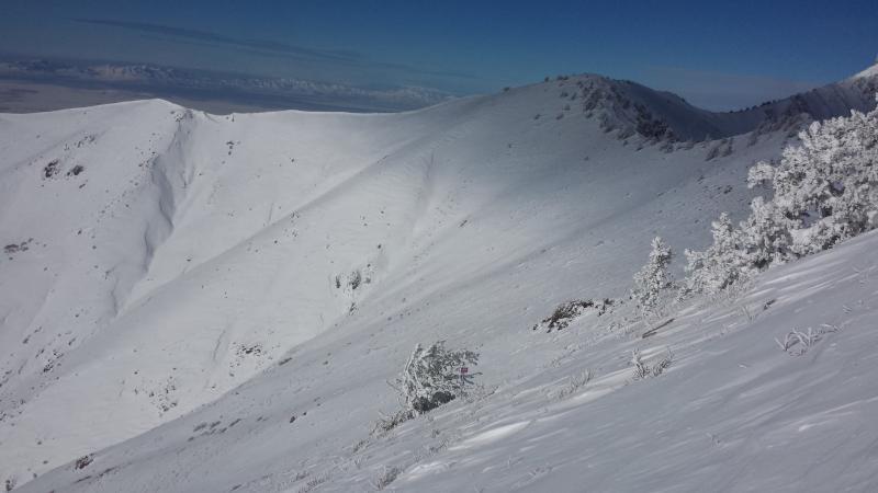
Photo 1: Proky Cirque, some small wind slab naturals overnight in the Kill Will Zone

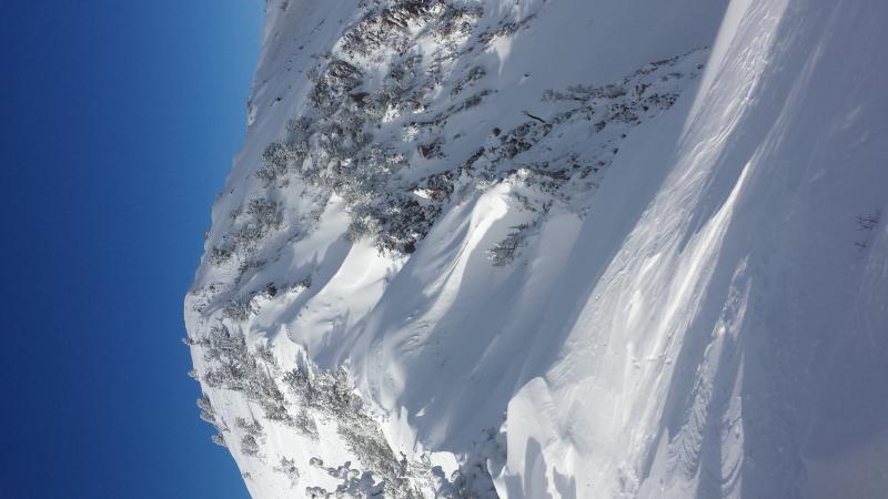
Photo 2: Lower South Aspect of Birch Creek

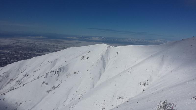
Photo 3: High South Aspect of Birch Creek.

Videos are of Shovel Tilt and ECT on ENE Aspect about 8600 ft.

Today's Observed Danger Rating
Moderate
Tomorrows Estimated Danger Rating
Moderate