Observation: Grizzly Gulch

Observation Date
12/18/2015
Observer Name
Larry Dunn
Region
Salt Lake » Little Cottonwood Canyon » Grizzly Gulch
Location Name or Route
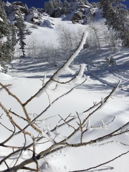
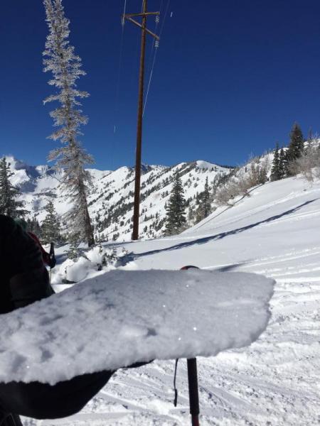
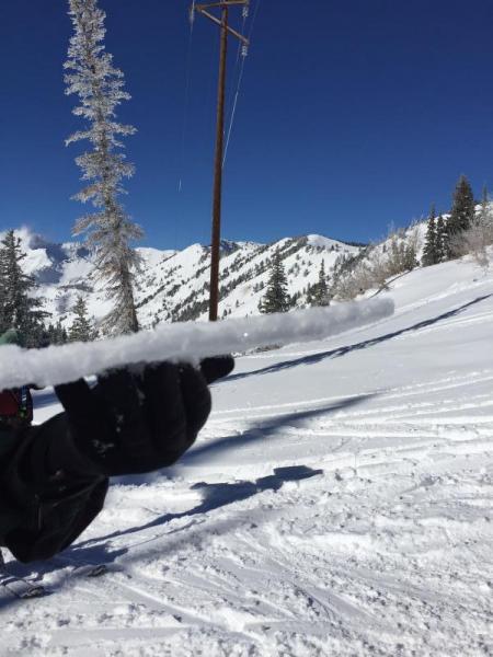
Grizzly Gulch
Weather
Sky
Clear
Wind Direction
Southwest
Wind Speed
Light
Snow Characteristics
New Snow Depth
2.5'
New Snow Density
High
Snow Surface Conditions
Dense Loose
Rain-Rime Crust
Snow Characteristics Comments

An overnight warm front brought a rime and freezing rain event to upper LCC. The crust was fairly stout from the town of Alta all the way to the top of Honey Comb Ridge, being the strongest in shady areas. On slopes with a due south aspect the crust was weaker due to the solar warming.

Forecaster Comment: Thanks to Larry Dunn for the mountain weather talk at the Fireside Chat at Black Diamond Wednesday night -

Red Flags
Red Flags Comments
The snowpack on this south to southwest aspect slope was mainly made up of snow that fell this past week. There was very little evidence buried facets or a weak layer. The new snow was being baked by the sun on this first warm day of the week and the snow was settling significantly where it was in direct sunlight.
Avalanche Problem #2
Trend
Same
Snow Profile
Aspect
Southwest
Elevation
10,300'
Slope Angle
30°

The photos show the rime ice that formed on the trees and the thickness of the crust that formed on the snow surface. The south facing portion of Grizzly Gulch was a safe place to be today because there was little evidence of the buried facets and weak structure found on many other aspects, but the creation of the rime crust could turn out to be significant in the future depending on how the snowpack evolves.

Today's Observed Danger Rating
Moderate
Tomorrows Estimated Danger Rating
Moderate
Coordinates