Spent the morning looking at southerly aspects ahead of the expected prolonged period of storminess. All this early season I have just been looking at aspects that are mostly northerly, so felt I didn't have a good handle on the southern aspects. I also find assessing south aspects to be challenging, particularly in early winter. (Hats off to UDOT forecasters as they eat and breathe this stuff.)
Today was finding 30-45 cm (12-18") snowpack between 8500' to 10000' with various crusts. Between these crusts I was finding weak faceted snow. Crust thicknesses depended on angle and aspect (generally thicker crusts on steeper southern aspects) but overall came away with the feeling that south aspects that currently have snow will be suspect if they get enough of a load. The crusts didn't seem thick enough to provide adequate bridging, and there is plenty of weak faceted snow between the crusts forming various crust sandwiches.
Video discussion of south aspects in upper LCC.
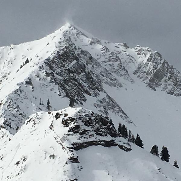
Photo from Cardiff Peak looking towards Superior as winds were blowing and drifting snow at the upper elevations.
We'll need to see how this storm comes in, but overall the snowpack is very weak on northerly aspects, and also most east and west aspects. Today I was finding that the snow also looked weak on SE through SW aspects as well. It will not take much of a load of snow and/or wind-loading to activate the northerly aspects, and I wouldn't be surprised to see avalanches to the ground on south aspects if we get a significant load.
We potentially are heading in to an avalanche cycle that we likely haven't seen for a few seasons. And hopefully this is the case as our weak snowpack really needs a good thump.
Today's hazard was pockets of Moderate. Tough to guess tomorrow as it depends on pre-frontal winds as well as timing and intensity of the storm. Am guessing higher than Moderate ......


