Snow profile is a composite of what I was finding on northerly aspects > 9500'. In some areas there are buried crusts, with some crusts sporting facet chains.
I noticed several observations from this past week noting the snow surface (which had faceted like most everything else in our meager snowpack) had strengthened somewhat due to the very warm temps. I was curious how things looked underneath the 10-15 cms (4-6") of new snow from Thursday night. On many northerly aspects I was finding the new snow to be sitting on a pencil-hard wind crust about 5 cms thick (~2") that likely formed during the very strong pre-frontal winds. (There was a visible dirt layer in many areas.) This thin wind board was not sensitive and would only crack around your skis. However, underneath wind board I was still finding very weak faceted snow with very easy, clean shears with shovel shears and shovel tilt tests. I dug around quite a bit underneath the storm snow, and perhaps I was looking in the wrong place, or it blew away, or it's simply spatial variability, but I could not find any signs of strengthening of the old snow surface.
Overall the small amount of new snow created probably the best conditions of the year.
Am calling the hazard Low, though it is possible there are a few rogue wind drifts on upper elevation ridgelines that formed during and right after frontal passage Thursday night. I suppose it is also possible on a very steep slope you could get a sluff to move.
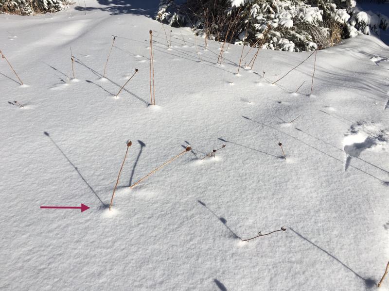
I try to find something interesting each time out and today noticed small settlement cones that had already formed from the snow overnight. This is a simple hint to us how quickly new snow settles and rapidly stabilizes.