Observation Date
12/11/2015
Observer Name
Kory
Region
Ogden » Monte Cristo
Location Name or Route
Monte Cristo
Weather
Sky
Few
Wind Direction
Northwest
Wind Speed
Light
Weather Comments
Nice calm warm day. No real weather to speak of.
Snow Characteristics
New Snow Depth
5"
New Snow Density
Low
Snow Surface Conditions
Powder
Snow Characteristics Comments

New snow was much lighter than expected with the warm temps. The warm temps did melt freeze and create a harder layer over the facets on the ground.

Red Flags
Red Flags
Heavy Snowfall
Poor Snowpack Structure
Red Flags Comments
There was an intense burst of snow here in the ogden valley between 7pm and 10 pm last night.
Avalanche Problem #1
Problem
Wind Drifted Snow
Trend
Same
Problem #1 Comments

I did see a very very small wind loaded slope that had a natural avalanche today. The bed surface was a very slick thick melt freeze crust. See Photo

Avalanche Problem #2
Problem
Persistent Weak Layer
Trend
Same
Problem #2 Comments

This layer is still not stressed enough to create any natural avalanches. In most places we do now have a slab sitting on top of the weak facets now. Not just a fully faceted snowpack. You will have to find the right area where snow has piled up to trigger a well connected avalanche though.

Snow Profile
Aspect
North
Elevation
9,000'
Slope Angle
24°
Comments

First time I have had any notable results in Compression tests or ECT. We finally have a slab over the weak layer we have been looking at for so long.

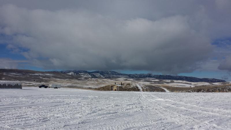
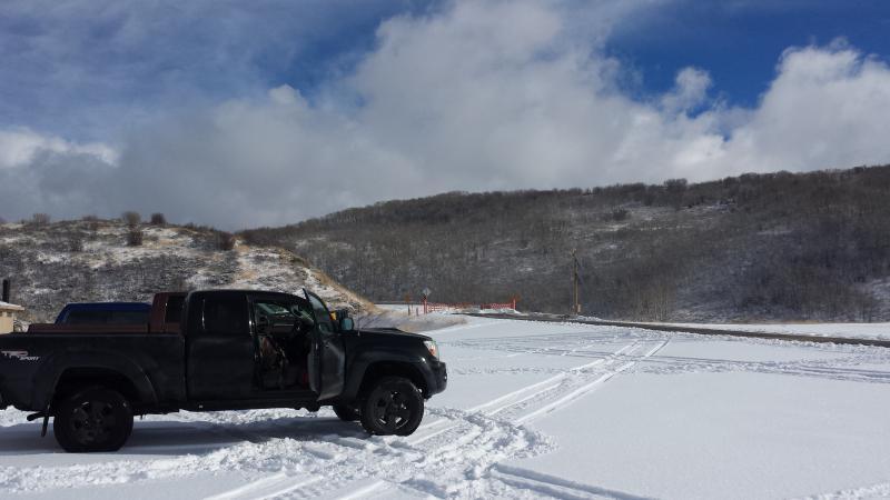
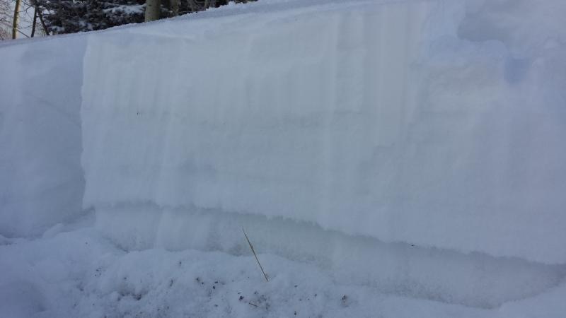
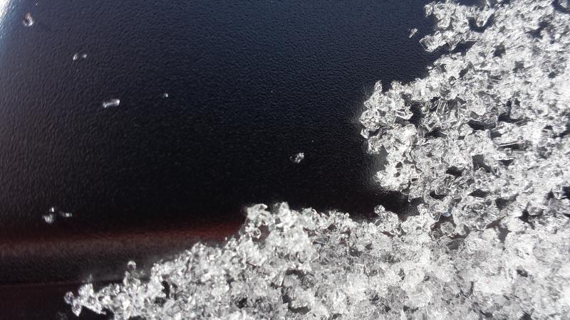
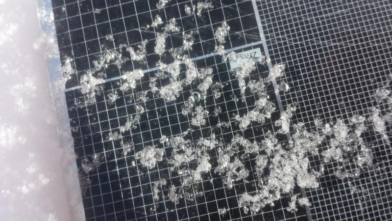
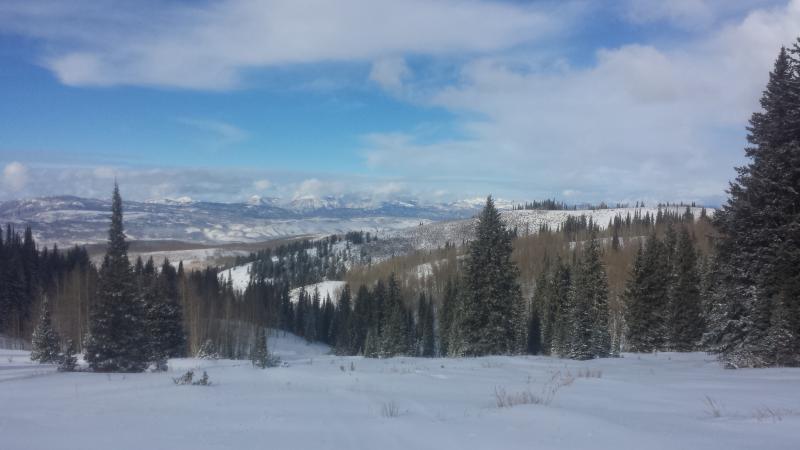
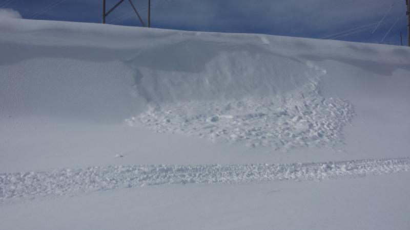
Photo 1: Looking out toward Powder Mountain and Hardware Ranch.

Photo 2: Monte Cristo Trail Head still looking thin.

Photo 3: ECTP 18 Sudden Planar

Photo 4/5: Weak Layer of Failure in Pit

Photo 6: Pit profile photo.

Photo 7: Looking north from Monte Cristo Peak toward Blacksmith Fork Canyon.

Photo 8: Very small Windslab that is now covered up. Probably happened right at the peak of precipitation.

Today's Observed Danger Rating
Low
Tomorrows Estimated Danger Rating
Low