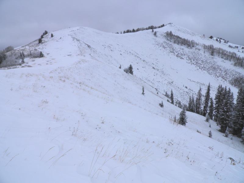
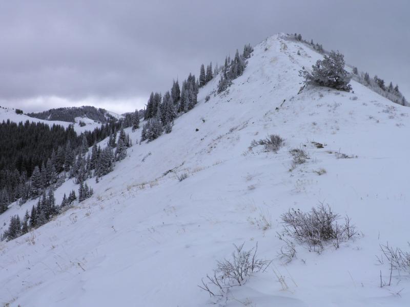
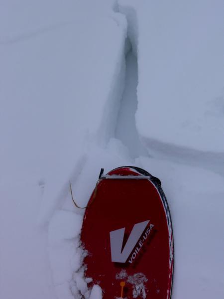
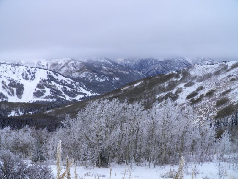
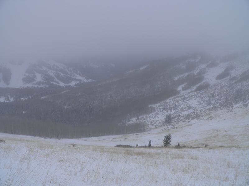
Back to The PC Ridgeline to see how they faired with yesterdays storm. Seems like they got around 10 inches of new light density snow down out of the wind, up on the ridge was a whole different deal. Seems like Scotts Peak, West and South Monitor and most of the slopes facing NE on the ridge got scoured by the winds after the main part of the storm. South Monitor got it especially bad, the new snow was scoured out of the starting zone with only rocks, bushes and facets left on the top 1\3 of the slope, there was actually less snow than the last time I went there before the most recent storm. The wind drifts were quite a bit stiffer today and I was only getting localized cracking in them. As the day progressed the cloud deck dropped and it started to rime, seemed like the rime line was around 9,000ft, not sure the extent of the riming decided it was time to bail when my goggles needed a squeegee.
Photos: Wind damage in South Monitor, Scotts Peak, localized cracking on the ridge line, cloud deck dropping, in the rime cloud.
I would think there would still be a few places you could get to avalanche in the high, wind affected, north facing terrain, but I would think the probability is dropping, most other terrain seems to be in the low category


