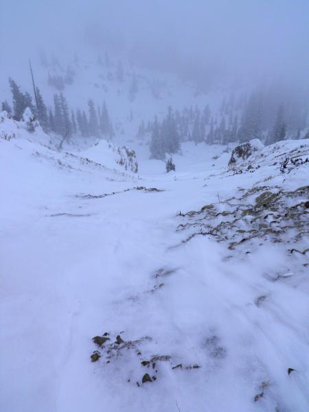
Went up to So Long first this time and did a few runs, skied quite a bit better than when l was in the area last time mainly because there was a small base underneath the new snow, but there's still plenty of booby traps to hit out there. A little later in the day the wind started nuking in the strong category from the N NW, transporting quite a bit of snow to the lee side of ridges. I headed over to Rocky Point to see if there was any avalanche activity on the high north facing terrain. Looking into the chute at the top of Rocky Point revealed that the starting zone had been completely scoured to the dirt, but down the slope about 50ft the slope was scalloped and slabbed up, definitely not looking user friendly. Large wind drifts were forming on the ridge lines up to waist deep and they would crack when provoked. Also of note was where the snow would fail in hand pits, it was not failing on the new snow old snow interface but on the weak facets from 2 weeks ago at the bottom of the pack, which intern would make for a nasty ride on rocks and stumps.
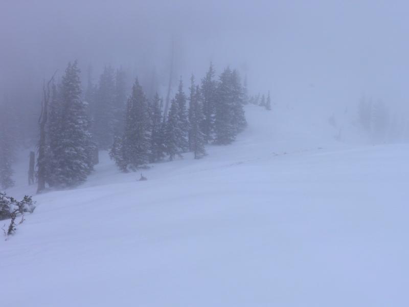
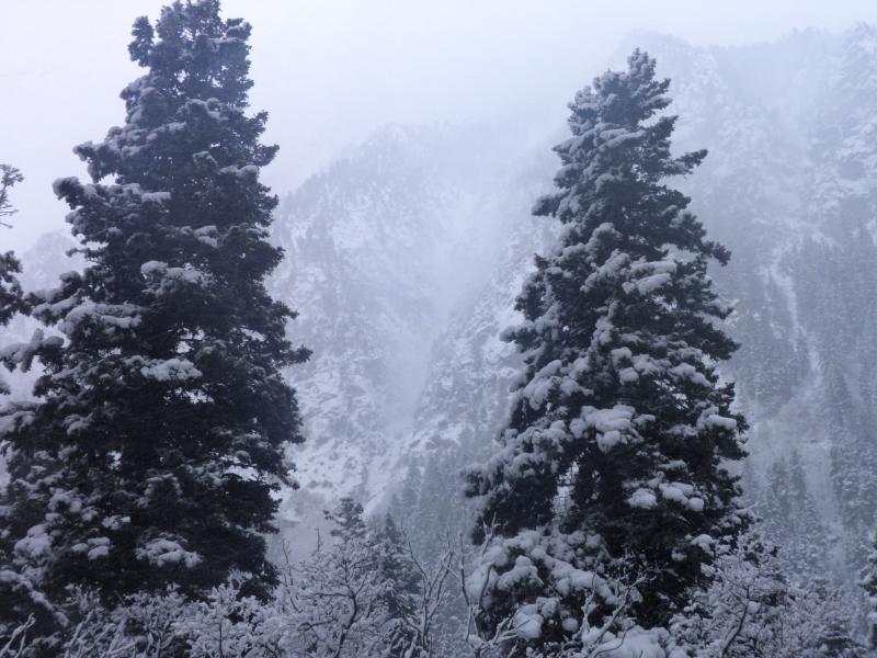
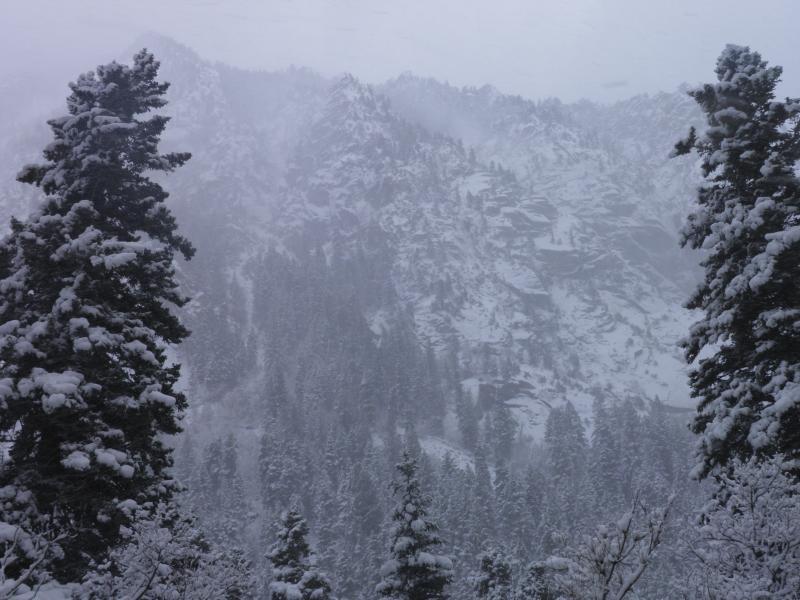
Photos: Wind scoured N facing chute off the top of Rocky Point, wind ripping across the ridge at Point Supreme, strong winds noted down low in the canyon
Once again hazard depends on wind transport and new snow amounts, but personally I don't think I would trust any upper elevation NW through NE facing, wind affected, steep terrain tomorrow and I would also be suspect of any wind affected terrain that's steep enough to slide.


