Our new director, Mark Staples and I went up this afternoon for a quick look at the new snow and to retrieve some temperature sensors we deployed last week. Let's look at the old snow first. When we deployed the sensors, there was perhaps 6 or maybe 8" of new snow. This snow settled since then and was in the 3 to 4" range when we looked at it today.
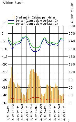
The temperature sensors (iButton Thermochrons) captured an impressive little dataset which clearly shows the near surface faceting process in action. Two sensors were inserted just below the surface of last week's snow. They capture a temperature recording every hour. The very shallow snowpack lends itself well to quite steep temperature gradients. Any time the yellow bars are above the red line, near surface faceting is in progress. During the colder night of the 6th, gradients were over 120˚ C per meter or 12˚ C per 10cm. This is fat!
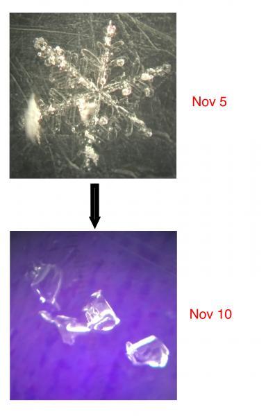
Last week's snow was stellars, rimed stellars and graupel. The top couple of inches consisted of mostly nice stellars when we deployed the temp sensors. When we retrieved them today, only faceted grains and some faceted graupel was visible. The near surface faceting process had basically turned all of last week's snow to facets at 9300'. It is worth noting that the old snow at 8800' was damp.
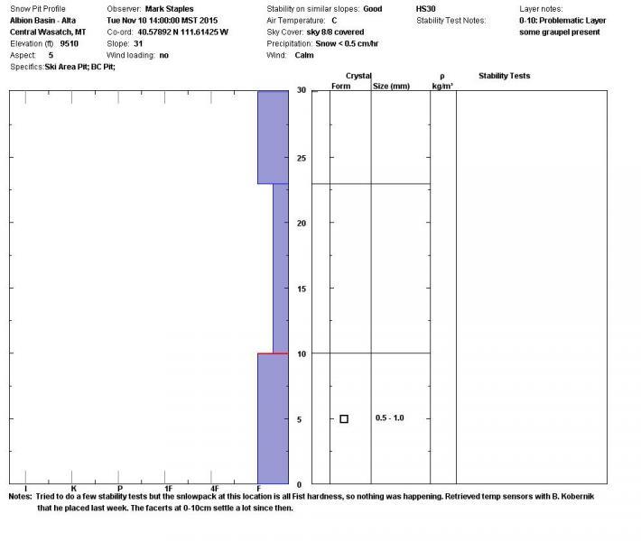
Facets are bad news but this layer isn't posing much threat right now with a very small new snow load on top of it. It is fairly shallow and may become damp and not be an issue at all.
Now lets look at the new snow. From what we saw, it was low density and we didn't notice that the wind had drifted it at all. Performing a few tests, we were not able to get any clean shears or distinctive failures anywhere in the snowpack. Basically, all is good right now. However, with high pressure setting in for the weekend, the near surface faceting process will most likely start again on the new snow that just fell. Time will tell and we will watch closely to see if the new snow becomes a weak layer of concern before the next storms.
The biggest hazard out there is, no doubt, the thin snow cover. Things are very shallow and hardly what I would call 'skiable'.
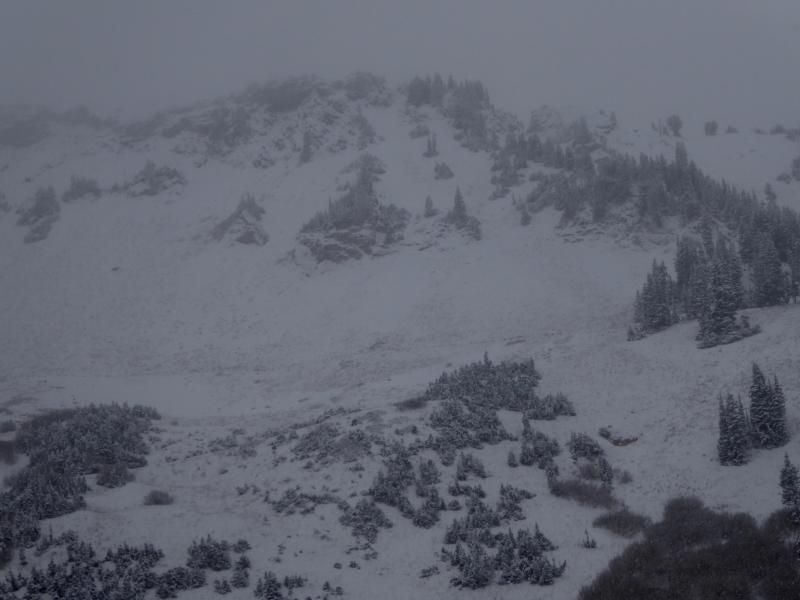
Photo: east facing Greeley at Alta ski resort
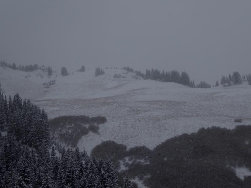
Photo: East facing Eddies High at Alta ski resort