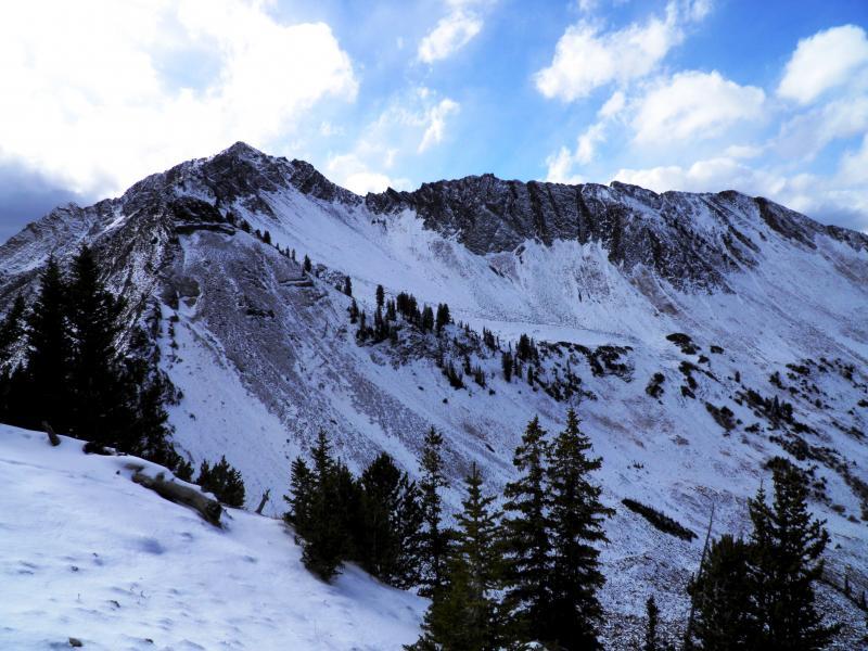
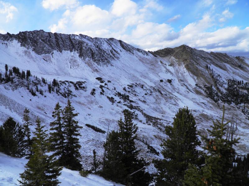
Quick pre-storm recon of the upper elevation north facing terrain between Pole line Pass and LSB revealed that the 8 to 10 inches of snow has faceted out to the ground, the thin snow pack and cold temps at night have accelerated the process. The north facing gullies have been somewhat filled in by the wind and the higher ridges between have been scoured to the dirt. Non of this matters until we receive a load on top, but its definitely something I will keep my eyes on. The north facing wind affected terrain which has a thin wind slab or wind crust capping it off might hold more of a load than the no-wind affected terrain thus producing larger and more connected slides. We have a weak layer in limited terrain but we need a slab on top for any action from it. In my book its all about mapping out were the old weak snow is before any sort of storm.
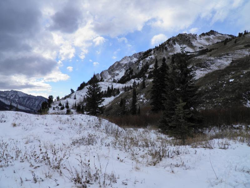
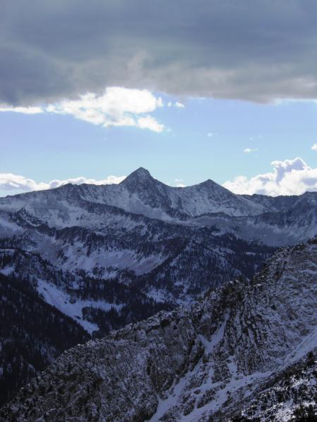
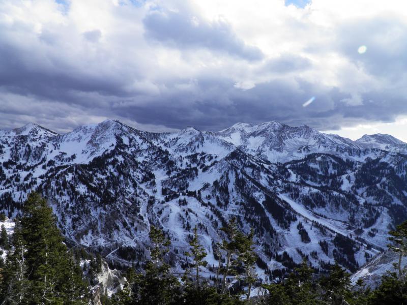
Photos: coverage in upper Cardiff, SE facing LCC, and across the street.
Video by Mark White