Observation Date
4/15/2015
Observer Name
Bruce Tremper
Region
Salt Lake » Little Cottonwood Canyon
Location Name or Route
Pole Line Pass and Alta
Weather
Sky
Overcast
Precipitation
Heavy Snowfall
Wind Direction
Northwest
Wind Speed
Moderate
Weather Comments
Heavy snow off and on with poor visibility. Very cold temperatures.
Snow Characteristics
New Snow Depth
2.5'
New Snow Density
Low
Snow Surface Conditions
Powder
Snow Characteristics Comments

Wow, what a storm. Just like the old days when it used to snow in Utah. I've almost forgotten what a good, old-fashioned, snowstorm is like. UDOT at Alta measured 29 inches in the storm so far. So this is probably the largest snowstorm of the season. It's deep, deep, deep. Pole Line Pass was not really steep enough to get moving fast enough to have much fun. The south facing slopes had almost no snow on them before the storm so they are quite treacherous unless you have the ribbons of pre-existing snow memorized.

Across the street at Alta, the parking lot was completely full of very hungry powder hounds who can call in sick for work. With heavy snow all day, it filled in nicely between runs, or so people claimed, since I only had time for one run to talk to the ski patrol about their control results.

Red Flags
Red Flags
Recent Avalanches
Heavy Snowfall
Wind Loading
Cracking
Red Flags Comments
The usual spring storm pattern with storm snow on a very hard, frozen base of melt-freeze snow.
Avalanche Problem #1
Problem
New Snow
Problem #1 Comments

The main problem was soft slabs formed within the storm snow, both from high precipitation rates during the early part of the storm and wind drifting. The wind increased through the day and the new snow seemed to be getting more sensitive later in the day. The weather was very warm before the cold front hit last night so the pre-existing snow was fairly damp and the new snow bonded well to it. But there are some weak layers within the new snow, both in the dirt layer at the base of the new snow and a little higher up when the high precipitation intensity was occurring.

The ski areas still open are reporting control results this morning of widespread, sensitive soft slabs that ran fast and far, as if often the case with very low density new snow sliding on an ice crust and density inversions within the new snow. Activity settled out by about mid day but increasing wind later in the day is probably creating more wind slabs in upper elevation, wind exposed terrain. With the very poor visibility due to heavy snow through the day, it was hard to tell what ran and what did not. Hopefully, tomorrow we can see more.

On Thursday, it's supposed to be cloudy in the morning but it looks like the sun will shine through in the afternoon and the temperatures rise. So watch for cold, dry snow turning damp in a hurry, which could initiate rollerballs and damp sluffs.

Comments

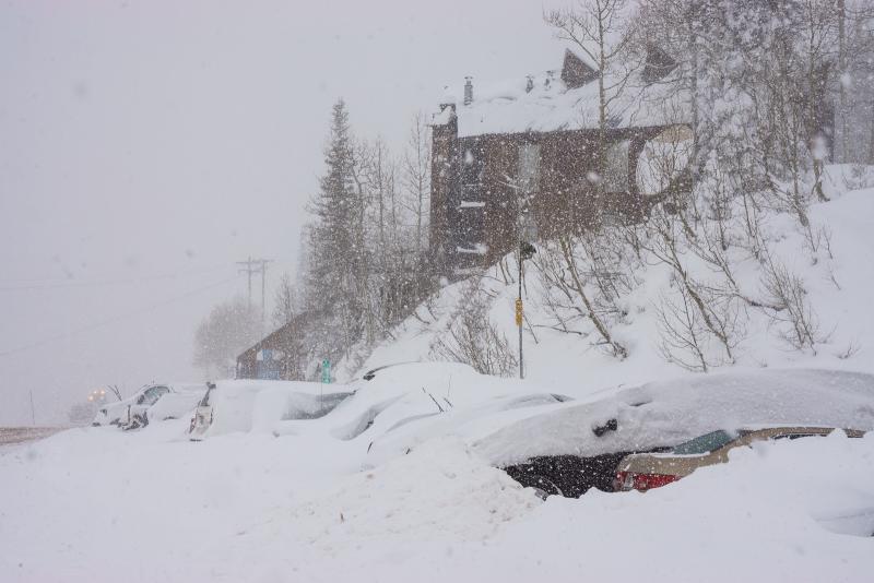
Yep, just like to old days when it used to snow in Utah. Brings back memories.... Alta got 29 inches so far.

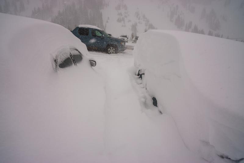
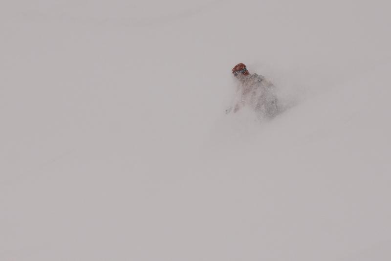
Snow was almost too deep to get going. You needed a steep slope. Most of the south facing slopes were almost all rock before the storm so they are very treacherous unless you have the ribbons of pre-existing snow memorized.

Today's Observed Danger Rating
Considerable
Tomorrows Estimated Danger Rating
Moderate