
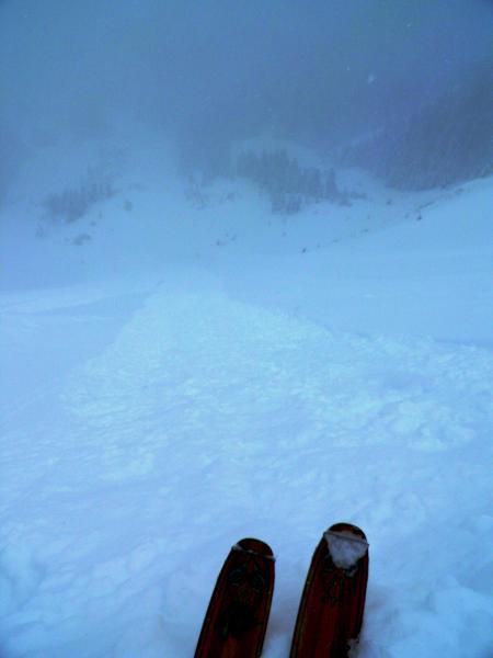
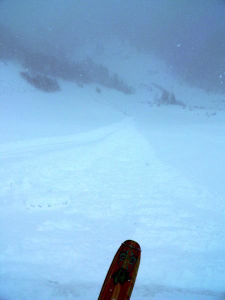
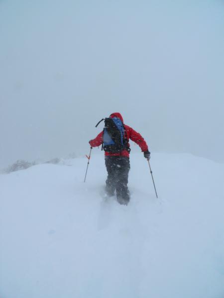
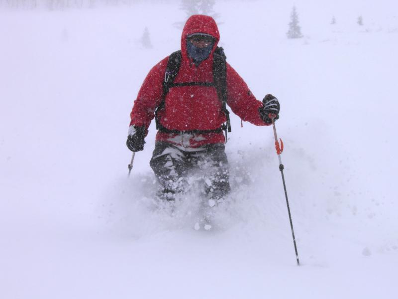
Figured it be too deep in LCC to ski the slopes that I would be comfortable with after a 2 foot dump, decided for one last trip to the Monitors, was thinking that they got way less snow when we arrived at Solitude but after 2500ft of vertical noted close to 2 ft at 10,000ft. The new snow seemed to have a density inversion from the earlier part of the storm, long running loose snow avalanches and sluffs were the specialty of the day. New snow sluffs could be instigated without much work, just had to knock a small snowball onto the steeper slopes to initiate a sluff that would spread out, gouge down and get a lot of momentum, running to the flats and producing a nice powder cloud. I would think this instability would settle out with a little time, the bond of the old and new snow was not bad I think the old snow was not yet frozen when the storm arrived and the first inch or so was wet and bonded fairly well to the old surface. Breaking trail was a bit of work but that might just be cause it been a while since I had to break trail in snow over a foot deep. Photos sluffing and loose snow slides in West and South Monitor, Fred trenching in deep snow on the ridge line, still snowing moderately on our exit at 4pm
Thinking considerable tomorrow if things heat up, unlike last weeks 8 inch graupel storm, 2ft plus of light density is going to go off fast and the amount of new snow might become unmanageable in wet slide conditions


