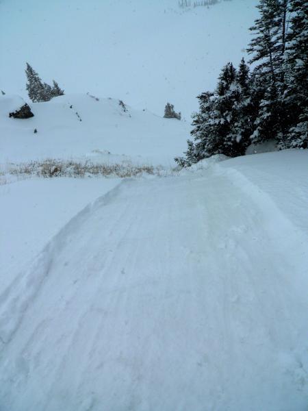
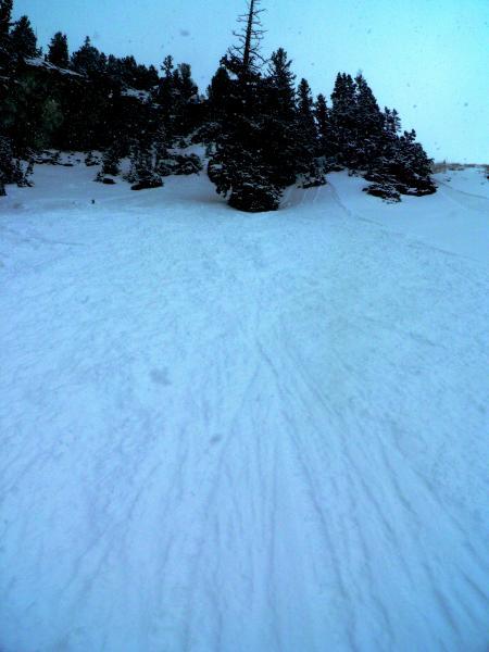
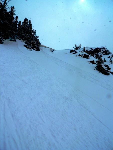
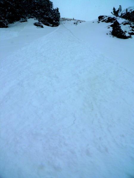
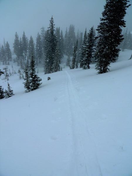
Headed up from the Alta Guard station at about 11:30am there was around 3 inches of new on top of a frozen bed surface, while walking up to Cardiff Pass the sun poked through the clouds and the greenhousing was fairly intense for a short period of time dampening the light density snow on the South facing. Once I reached the peak and headed into Cardiff via the Keyhole the skies had socked back in and it was snowing moderately. Seemed pretty apparent right off the bat that the new light density snow was not bonding very well to the old frozen surface on the steeper slopes, a few ski cuts in the top of the keyhole cleaned the whole run out to the old hard bed surface. The sluffs were starting in the new snow and gouging down to the old frozen surface once they got moving, they were also packing a bit of a punch and spreading out quite wide. Did not note any wind affect or slabbyness just a poor bond between the old and the new snow, my thinking is that since the old surface was already frozen before the storm and the new snow came in cold and dry it was basically not sticking to the old surface. Skiing was a bit sub-par in my book, steep slopes would sluff and you would be ridding on the frozen old surface, the snow was not dense enough to keep you off the bottom on even the lowest angle slopes, and the visibility was not very good for avoiding frozen nuggets, and yes rocks! that we don"t usually have to deal with this time of year. Last storm I was out in was a couple weeks ago, it came in when the old surface was not frozen and was also basically graupel and denser wet snow, which lead to much better bonding. Photos sluffing in the Keyhole produced with a ski cut, pa period of heavier snow, more showers pumping up the canyon
Hazard depends on new snow amounts and wind transport


