Observation Date
3/24/2015
Observer Name
jg
Region
Uintas » Upper Weber Canyon » Weber Canyon
Location Name or Route
Weber Canyon
Weather
Sky
Overcast
Precipitation
Light Snowfall
Wind Direction
Southwest
Wind Speed
Light
Weather Comments
Clear skies early in the day with clouds starting to roll in around noon. Light snow beginning around 1:30 but just a trace falling by the end of the day. WSW winds were moving snow in open terrain and on upper elevation ridge lines. Coolish temps compared to what we have been experiencing lately. Over night lows in the upper teens and lower twenties at 9K with daytime highs in the low 30's. 10K temps in the 20's but felt colder with the wind chill.
Snow Characteristics
New Snow Depth
2"
New Snow Density
Medium
Snow Surface Conditions
Powder
Wind Crust
Damp
Snow Characteristics Comments

About 2" of settled medium density snow on top of the melt freeze crust.

Red Flags
Red Flags
Wind Loading
Cracking
Red Flags Comments
Wind loading was the biggest red flag today but easily avoided.
Avalanche Problem #1
Problem
Persistent Weak Layer
Trend
Same
Comments

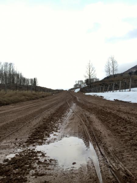
Snow is melting fast at lower elevations making sled access more difficult in Weber canyon.

The biggest issue to be concerned with will be newly formed wind slabs. Upper elevation alpine terrain has been experiencing moderate to strong winds, creating sensitive wind slabs. I was finding that the new snow was bonding well with the old snow surface but there is weak interface within the new snow on a slight density inversion a cm or so above the old snow surface. That instability should settle out quickly.

Moderate danger tomorrow in the wind zone, low otherwise.

Today's Observed Danger Rating
Low
Tomorrows Estimated Danger Rating
Low