Observation Date
3/16/2015
Observer Name
Hardesty and Wilson
Region
Salt Lake » Park City Ridgeline
Location Name or Route
Guardsman to Jupiter and north to 9990
Weather
Sky
Scattered
Wind Direction
Southwest
Wind Speed
Light
Weather Comments
Clouds and wind play a huge role in regards to the wet avalanche issue. Seemed as if more clouds and more southwest wind perhaps mitigated the wet issues south along the PC ridgeline; clearer skies and protection from wind perhaps fostered more issues just a couple miles north in the Canyons periphery.
Snow Characteristics
Snow Characteristics Comments

Wet; at times supportable. We walked from Guardsman to Jupiter and north to 9990'.

When avalanche concerns turn toward the spring cycle, I commonly look to connect with the snow safety folks along the Park City ridgeline. Always good to share thoughts and concerns with the folks there - as PC terrain tends to be the bellwether for early wet issues. Thanks today to Collin Wilkinson, Dave Weiss, and Andy Van Houten of PC Snowsafety as well as Paul Santana for good comms and thoughts about our current situation.

Red Flags
Red Flags
Recent Avalanches
Cracking
Collapsing
Rapid Warming
Poor Snowpack Structure
Red Flags Comments
Wet avalanches notoriously difficult to work with and forecast.
Comments

Wish I had more tonight for the observation. Photos below

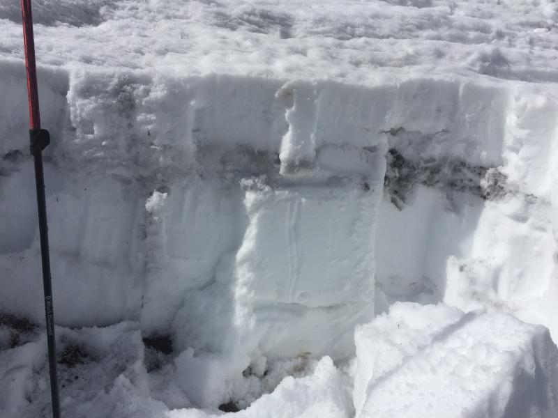
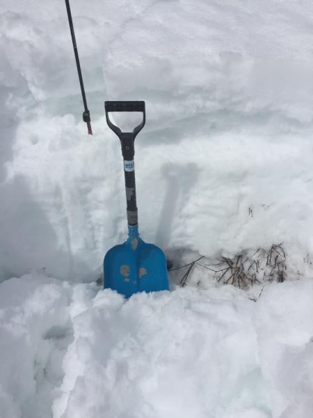
1,2 - Though fully isothermal, wet snow found generally at the top of the old depth hoar and along the mid-Feb facets; also "refreeze" was in essence a wolf in sheep's clothing. Not significant water but a concern - and well reflected in layering of last couple of wet slabs/sluffs but pockety in nature only.

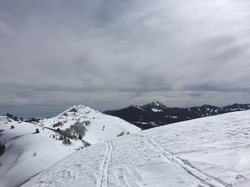
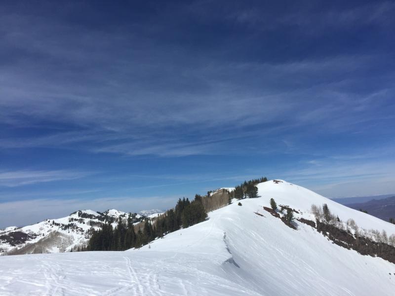
3,4 - sky cover can vary dramatically; similarly the micro climates etc where some areas may benefit from wind for cooling; others more protected may not; same for cloud cover only a few miles apart.

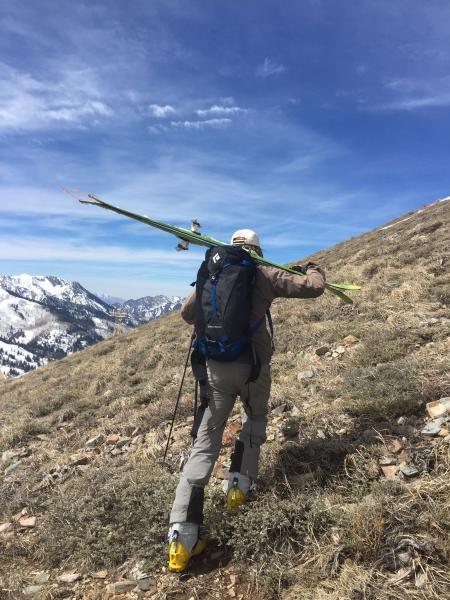
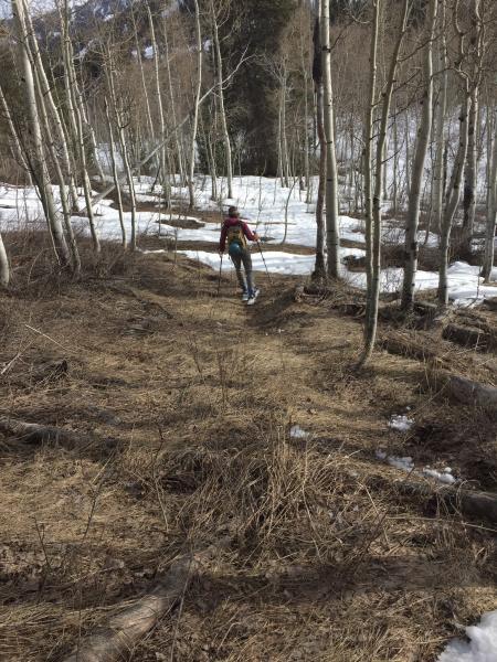
5,6 - grim booting across south facing Scott Peak and the exit down the Willows - where we could barely connect the dots to the road for egress.

Today's Observed Danger Rating
Considerable
Tomorrows Estimated Danger Rating
Considerable