
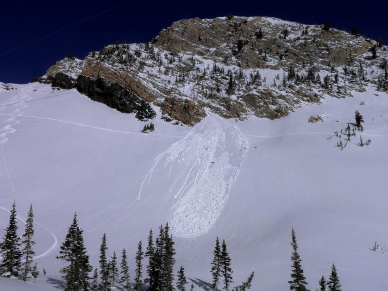
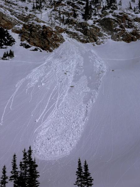
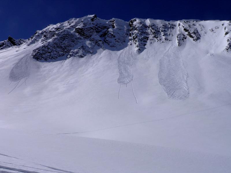
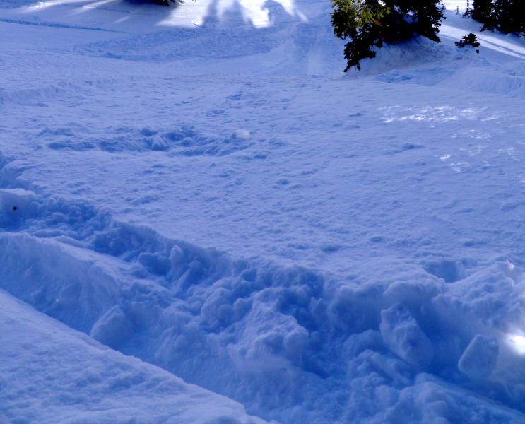
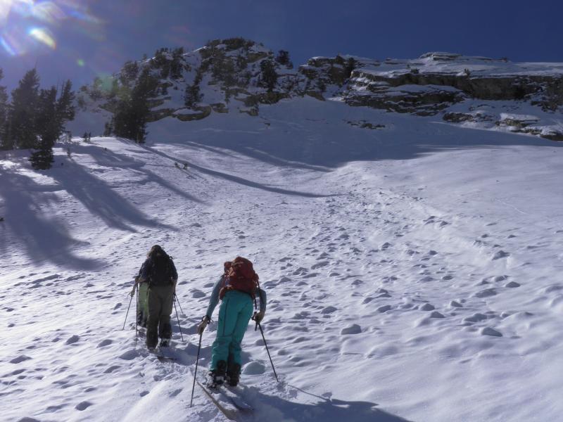
Took another trip through Cardiff today do do some clean up, must have blown a bit yesterday and overnight allot of the old tracks from Wednesday were blown in. The cold clear nights have recrystalized the new settled snow and riding conditions were prime. There were some wind slabs on the high ridge line and some of the high NE facing terrain but it was spotty and not reactive to ski cuts. Unlike Wednesday, did not experience any collapsing and we broke a fair amount of trail on NE and N aspects. My thought is that things are starting to stabilize and the snow pack is settling out and adjusting to the new load. I think the main concerns tomorrow will be wet activity, today noted wet activity on south facing Toledo Peak and on West Hellgate, but I think with continued warming things might get exciting on the south end of the compass, 20 plus inches of new light density snow, check, hard and slick bed surface on the south end of the compass, check, high sun angle and warm temps forecasted for the next few days, check. We seem to be set up for a decent wet slide cycle which can be easily avoided by not skiing steeper slopes when they have already gone off, might as well let them bake out and do their thing for the next couple days, then ski corn when its on. Sluffing of the new snow was also noted in steep terrain. Photos, wet activity on S facing Toledo Peak, sluffing in the new snow on NE steep aspects, using an old avalanche path as a safe accent route.
In my book hazard depends on how hot it gets tomorrow might reach considerable for south facing steep aspects


