Observation Date
3/4/2015
Observer Name
Toddeo
Region
Salt Lake » Big Cottonwood Canyon » Mill F
Location Name or Route
Mill F
Weather
Sky
Clear
Wind Speed
Light
Weather Comments
Cold day for March. Cold and light breeze helped to preseve snow surface through early afternoon.
Snow Characteristics
New Snow Depth
1"
New Snow Density
Low
Snow Surface Conditions
Powder
Snow Characteristics Comments

Perhaps an inch since I left the area yesterday afternoon.

Snowpack settled out approximately 1-2" overnight in this area. 14-16" siting on the crust where I measured 16-18 yesterday. Settled enough to make a noticeable difference skiing low angle slopes.

Enough wind overnight to mostly fill in yesterday's tracks on USA Bowl.

Wind affect on USA bowl was not as pronounced today, with the exception of the high west facing portion.

Surface hoar on most aspects below the ridgetops. A good coating of hoar frost on most trees this morning. Made for a slippery skintrack as it started to fall of trees midmorning. Distal and up close view in photos, Rally nice feathers with some entrapped dendrites.

All quick columns and ECTs were easy to isolate with no major shears observed. Yesterdays density inversion has settled out a bit.

Red Flags
Red Flags
Heavy Snowfall
Red Flags Comments
Heavy snowfall the last 5 days was my major red flag today. Stuck to low angle slopes.
Avalanche Problem #1
Problem
Persistent Weak Layer
Trend
Decreasing Danger
Problem #1 Comments

I kept off of steep terrain today in order to let things settle out from yesterdays winds. Danger should decrease with time.

Avalanche Problem #2
Problem
Wet Snow
Trend
Increasing Danger
Problem #2 Comments

Red flag for tomorrow with forecasted warming temps.

Comments

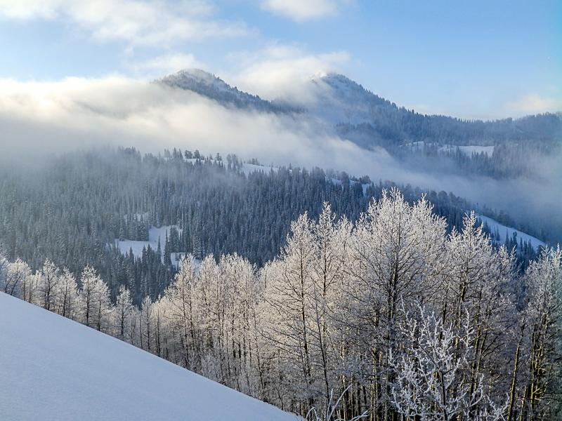
Not an exciting day today, intentional, stuck to low angle due to wind and load over the last 5 days.

Today may have broke the all-time record for dawn patrol cars in BCC.

My condolences to friends and family of the rider killed near Snowbasin today.

Danger for today based on amount of snow and wind for the last cycle. I assume it is settling out and will fall into the moderate category tomorrow, with the possible exception of south facing aspects with daytime heating (considerable)

Today's Observed Danger Rating
Considerable
Tomorrows Estimated Danger Rating
Considerable