Observation Date
3/2/2015
Observer Name
Evelyn
Region
Salt Lake » Little Cottonwood Canyon » Cardiff Pass
Location Name or Route
Alta into Cardiff
Weather
Sky
Obscured
Precipitation
Moderate Snowfall
Wind Speed
Light
Weather Comments
Light to moderate snowfall, winds light to moderate, direction very variable down in the terrain inspite of overall southwesterly direction.
Snow Characteristics
New Snow Depth
4"
New Snow Density
Medium
Snow Surface Conditions
Powder
Snow Characteristics Comments

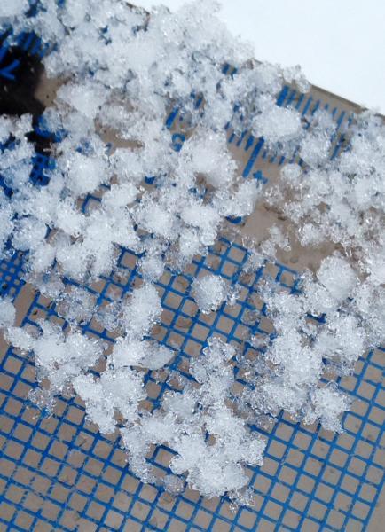
4" so far today, mix of stellars, and moderately rimed stellars.

Red Flags
Red Flags
Wind Loading
Cracking
Poor Snowpack Structure
Red Flags Comments
Minor surface cracking of the snow during periods of higher snowfall rates and in wind exposed areas. Some drifts up to 2 feet deep in isolated places, still soft and not too cracky. A few small natural sluffs coming off cliff bands.
Avalanche Problem #1
Problem
New Snow
Trend
Increasing Danger
Problem #1 Comments

With forecast snow and wind, new snow soft slabs and sluffs will be the most widespread issue, on most aspects. Slides have the potential to take out snow from the last several disturbances. Many of the sunnier slopes have hard crusts beneath, which will make for good bed surfaces, allowing snow to move faster and further.

Avalanche Problem #2
Problem
New Snow
Trend
Increasing Danger
Problem #2 Comments

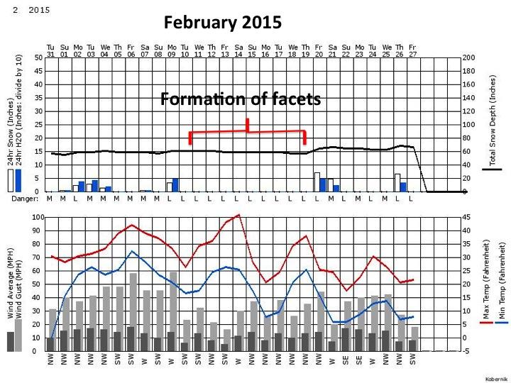
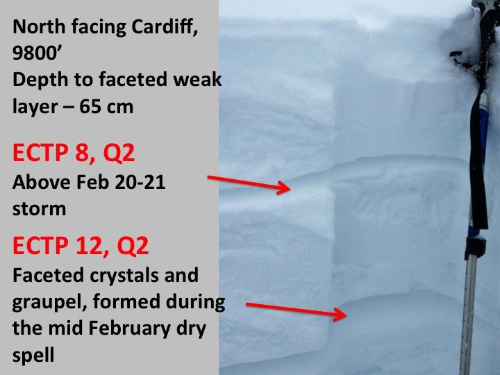
A layer of near surface facets and faceted graupel was buried by the Feb 20 -21 storm. The current series of storms is adding more weight and a denser slab on top of this facet layer. This will be our least predictable and most dangerous weak layer for the next few days - mostly on upper elevation northwest, north and northeasterly facing slopes. 2 groups in our Saturday Brighton 101 were already finding full ECT propagation on this layer. East, southeast and westerly facing slopes aren't all facet free - facet/crust sandwiches exist, especially at the upper elevations.

Today's Observed Danger Rating
Moderate
Tomorrows Estimated Danger Rating
Considerable