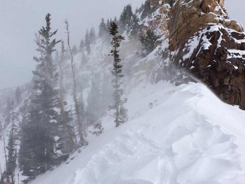
Travel today was Cardiff (Poleline) Pass, Powerridge, Cardiac Ridge, High Ivory. We had intended on dropping into Black Ebony and exiting through Mineral, but the E/SE winds were drifting snow onto NW aspects and it was clear drifting was also occurring well down the ridgelines, so a well-placed ski cut at the top didn't mean you wouldn't find drifting down lower, so a change in plans and we exited through Cardiff Fork which allowed us to avoid upper elevation wind-loaded aspects.
Was a bit surprised to see as much wind affect as we did, and we triggered several class 1 (rather small) slides in fresh wind-drifted snow.
It is likely wind drifting wasn't necessarily widespread as we noticed several parties skiing without incident in Cardiac Bowl.
Outside of wind-affected terrain, the ski conditions are quite good. The lighter density snow from Friday firmed up a bit and softened the old, crusted snow surface.
I would call the hazard mostly Low, but Moderate in areas that have fresh wind drifts, these are likely to be found on West and Northwest aspects at upper elevations.