We needed this. Storm snow was well-behaved and I only noticed several small natural sluffs that ran within the storm snow. On steeper aspects I was able to ski cuts sluffs as well, but very manageable. Prior to the Friday snow the existing snowpack was about as bombproof as it gets, with several people finding some faceted snow at the old snow surface in upper north-facing elevations. Outside of these upper elevation aspects, I was finding the storm snow to have bonded quite well to the old snow surface. On upper elevation north aspects it was quite easy to dig down to the old snow surface where you could find the faceted snow. However, the grains were moderately-sized and somewhat dense. Stability tests were showing clean, moderate to hard shears (STM/STH). Going forward it is useful to know that this weak layer has been preserved, but it was not active from today's storm and I suspect it will gain strength over time.
Overall mostly Low danger with easily provoked small Class 1 sluffs in steeper terrain. The sun had not come out for any extended period, but when it does (unfortunately) reappear the light density snow will quickly become active on solar aspects.
Easily best ski conditions since Solstice/Christmas storms.
Photo of natural sluffs in steeper terrain.

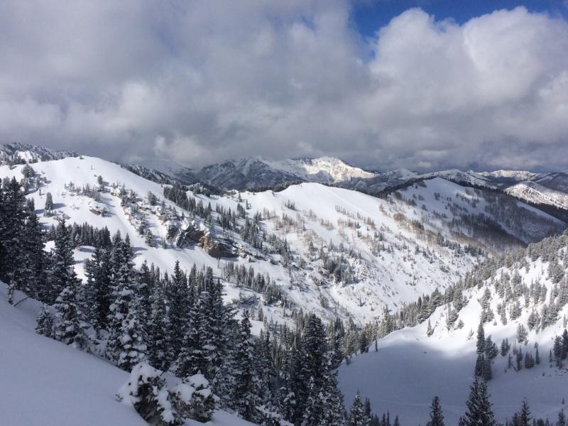
The Wasatch looked beautiful this morning with a fresh coat of white! Soul restoring.