Observation Date
2/9/2015
Observer Name
chester
Region
Salt Lake » Big Cottonwood Canyon » Brighton Perimeter
Location Name or Route
brighton perifery millicent, tuskarora, martha bowl, dog lake shoot.
Weather
Sky
Overcast
Precipitation
Light Snowfall
Wind Direction
West
Wind Speed
Light
Weather Comments
at 9 am winds moderate out of south grouple fell about 10:30, winds switched to west. I left about 2:30, with about 1" of grauple on car. 0 accumulation noted below lower solitude entrance on drive down. noiced another pulse coming as I exited bcc.
Snow Characteristics
New Snow Depth
1"
New Snow Density
Medium
Snow Surface Conditions
Powder
Dense Loose
Wind Crust
Melt-Freeze Crust
Snow Characteristics Comments
there is a good coverage of grauple above 8000' now (not just pooled under cliffs although that was certainly happening). grauple was bouncing off crust like popcorn, noted grauple making micro "spines" at least halfway down aprons to tuskarora below 3 shoot and Millicent east bowl like a sand dune. There was enough grauple for it to start "stacking up"-grauple may be on slopes steeper than usual.
Red Flags
Red Flags Comments
the grauple (weak layer) is now there above 8000'. sun and wind crust below (bed) don't know what the future holds as far as snow and wind in the next couple of days to get a slab on top.
Comments

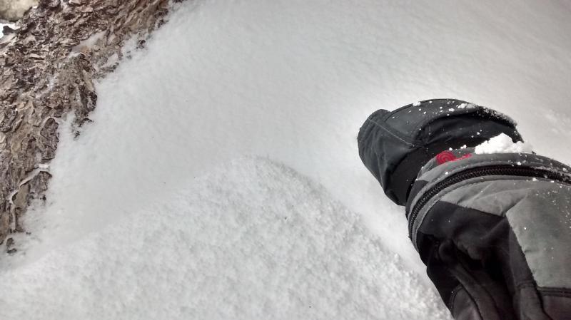
FORECASTER COMMENTS: While graupel seems like it would make a significant weak layer with its 'ball bearing' appearance, it does not usually act as a widespread weak layer in Utah. It will occasionally produce some slab avalanches but they are generally fairly 'pockety' in nature. This is generally more pronounced in places where the graupel pools after it rolls off of steeper slopes. With no storms in the near future, this probably won't play much of a roll as a potential weak layer. Kobernik

Today's Observed Danger Rating
Low
Tomorrows Estimated Danger Rating
Moderate