Observation Date
2/5/2015
Observer Name
Tyler Falk
Region
Salt Lake » Little Cottonwood Canyon » Maybird Gulch
Location Name or Route
Maybird
Weather
Sky
Few
Wind Direction
Southeast
Wind Speed
Moderate
Weather Comments
Southeast winds in upper Maybird were moderate off the ridges and strong and sustained on the 10k ridgelines.
Snow Characteristics
New Snow Depth
5"
New Snow Density
Medium
Snow Surface Conditions
Powder
Dense Loose
Wind Crust
Melt-Freeze Crust
Damp
Snow Characteristics Comments

Mixed bag of snow conditions out there. Wet snow down low on sunny aspects dry moderate density snow up higher on shady aspects.

Red Flags
Red Flags
Wind Loading
Rapid Warming
Avalanche Problem #1
Problem
New Snow
Trend
Decreasing Danger
Problem #1 Comments

Loose snow avalanches were my number one concern today with the possibility of them triggering a storm slab. Mainly above 9k where more snow fell.

Avalanche Problem #2
Problem
Wind Drifted Snow
Trend
Decreasing Danger
Problem #2 Comments

Winds ramped up this morning and transported the snow that was available. It seemed to be loading a variety of aspects above 9500.

Comments

Mostly clear skies early, turned to overcast by the end of the day. North-East through East stayed dry all day above 9k. South-East slopes at 10k had wet snow. Most of the instabilities we saw out there were loose snow avalanches like we saw yesterday. Not running full track but entrapping a fair bit of snow. Only noticed one wind slab that was fairly shallow today. Winds however were picking up as the day went on and were transporting more snow than when we arrived in the early morning. Tracks were getting erased as the day went on by the moderate to strong winds. Around 15 cm of storm snow around 10k. Average height of snow at 9500 is 180 cm in upper Maybrid.

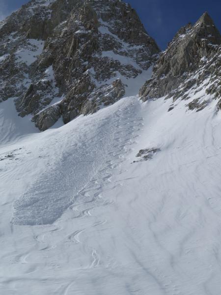
Photo 1. Loose Snow Avalanche in North facing Maybird.

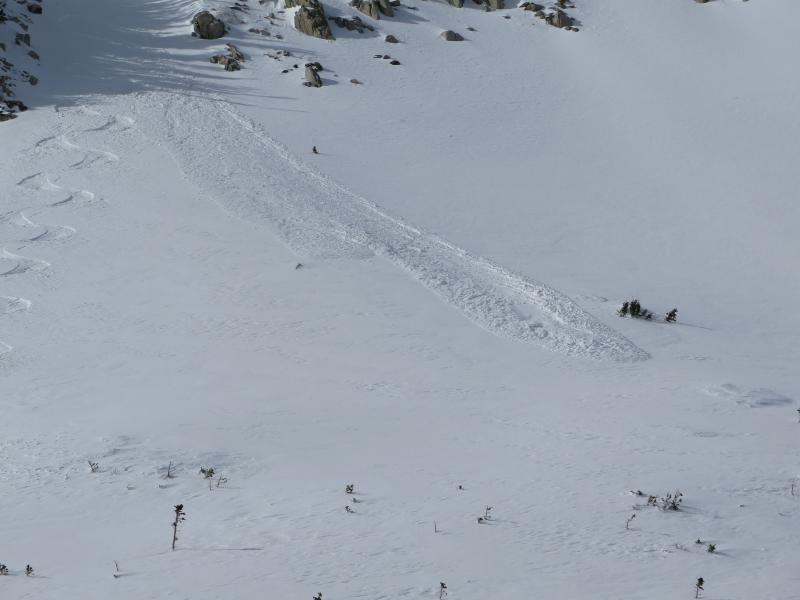
Photo 2. Another Loose Avalanche on East facing Obelisk.

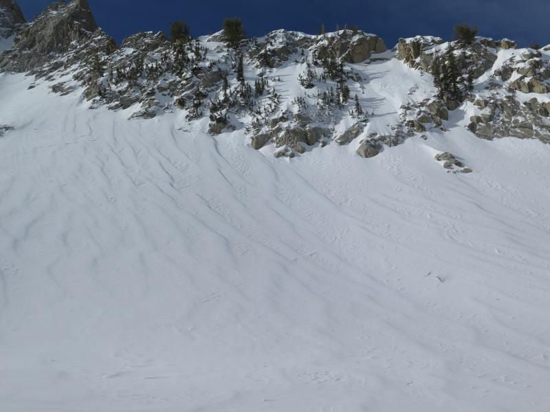
Photo 3. Wind Damage in Maybird by small pass

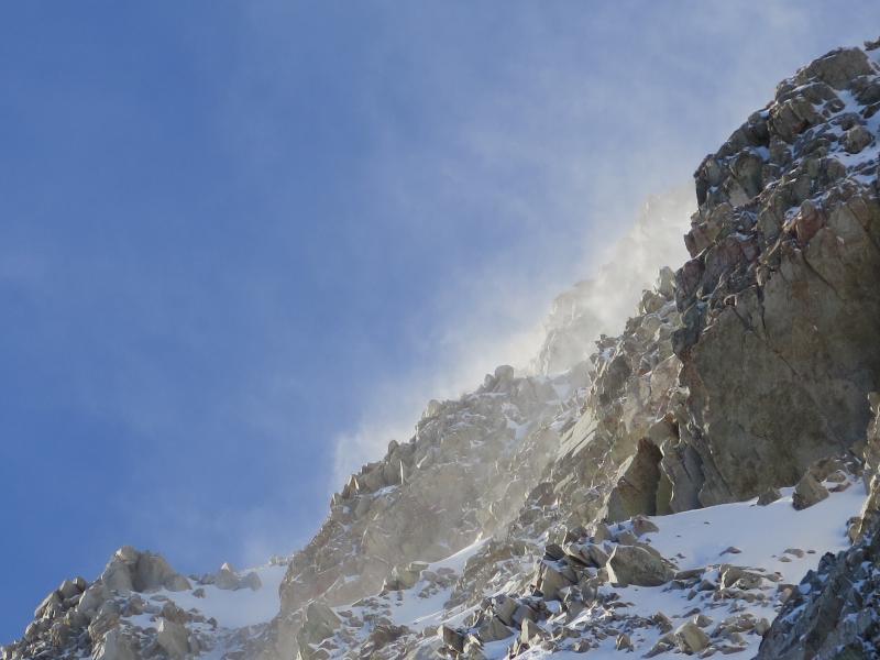
Photo 4. Snow Transport along higher ridges

Today's Observed Danger Rating
Moderate
Tomorrows Estimated Danger Rating
Moderate