Observation: Gobblers

Observation Date
1/14/2015
Observer Name
Wilson
Region
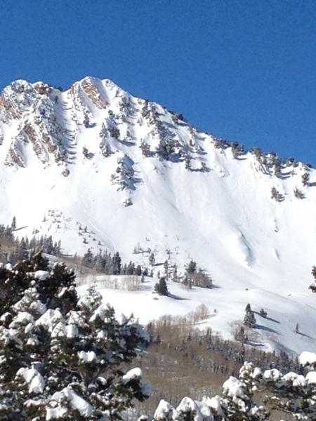
Salt Lake » Big Cottonwood Canyon » Mill Creek Canyon » Mill A » Butler Fork » Gobblers
Location Name or Route
Butler to Gobblers out Porter
Weather
Sky
Clear
Wind Speed
Calm
Weather Comments
Spectacular sunny day on the shores of what looked like prehistoric Lake Bonneville.
Snow Characteristics
New Snow Depth
13"
New Snow Density
Low
Snow Surface Conditions
Powder
Faceted Loose
Melt-Freeze Crust
Rain-Rime Crust
Damp
Snow Characteristics Comments
Quintessential powder skiing down Main Gobblers, with very minor wind affect and no signs of instability in the area. More significant zipper crust (powder pulling moisture from Tuesday's low clouds and freezing?) skiing on west slope from Circle All ridge into Mill A, and hoar frost in that area as well. Settlement cones throughout. Some surface faceting in the shady aspen exit of porter fork, and ice at the bottom of the porter fork road. Watch for down trees and ruts!
Red Flags
Red Flags
Recent Avalanches
Rapid Warming
Red Flags Comments
Four sluffs, presumably wet releases, visible on east facing Raymond. Left most appeared to have tracks skiing out. Visible from Gobbler's shoulder was a glide avalanche on Bonkers in Broads fork.
Snow Profile
Aspect
Northwest
Elevation
9,400'
Slope Angle
25°
Comments
Extended column test just off Baker Pass was all dig and no fracture; in hindsight might have dropped further off ridgline to avoid history of wind loading.. General structure was a damp melt freeze layer at the base with a stiff slab (1 finger + into 4 finger) extending up to fist hard new snow. Shovel shear test revealed structure with 3 distinct planing surfaces in the 155 cm snow pack, all in the 55 to 85cm region. The bottom most of these layers slid on a faceted (now healing?) layer that appeared to include old graupel. Newest snow could also be separated from the 2-3 inch Saturday storm.
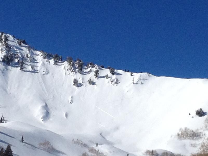
Squint at photo to see sluffs on Raymond and a bold-ish uptrack to the right.
Today's Observed Danger Rating
Moderate
Tomorrows Estimated Danger Rating
Moderate
Coordinates