
My observation is pretty much the same as Mark White, since we both went to the same area. I did not see him up there but then again, he would have to be within 20 feet of me due to the very dense fog. I walked for awhile along the ridge line but even if there was a huge avalanche on the slopes below I would not have been able to see it. I admit, there were times I was not quite sure where I was and had to resort to the Wasatch Backcountry Skiing app, which is definitely the most useful app in existence for backcountry skiers in the Wasatch. I use that thing A LOT.
The new snow was very well behaved. Several quick pits, test slopes and slope cuts did not produce a hint of trouble. We felt comfortable enough descending and ascending a couple steeper rollovers. The new snow is quite dense and it's kind of welded in place, at least every place we visited.
The only slabby conditions I found were along the high ridges where the east wind has been drifting snow back onto the west side, making reverse cornices. Some of the small drifts and slopes would crack and perhaps some slopes might have the potential to break out but there's not many slopes steep enough on the west side along that ridge.
I agree that the clear weather and warmer temperatures on Wednesday will likely make the snow soggy on the steep, southerly facing slopes. That's the main problem for tomorrow. The suddenly wet snow is going to want to move. People should definitely avoid the steep, south facing slopes above the highways to avoid endangering others.
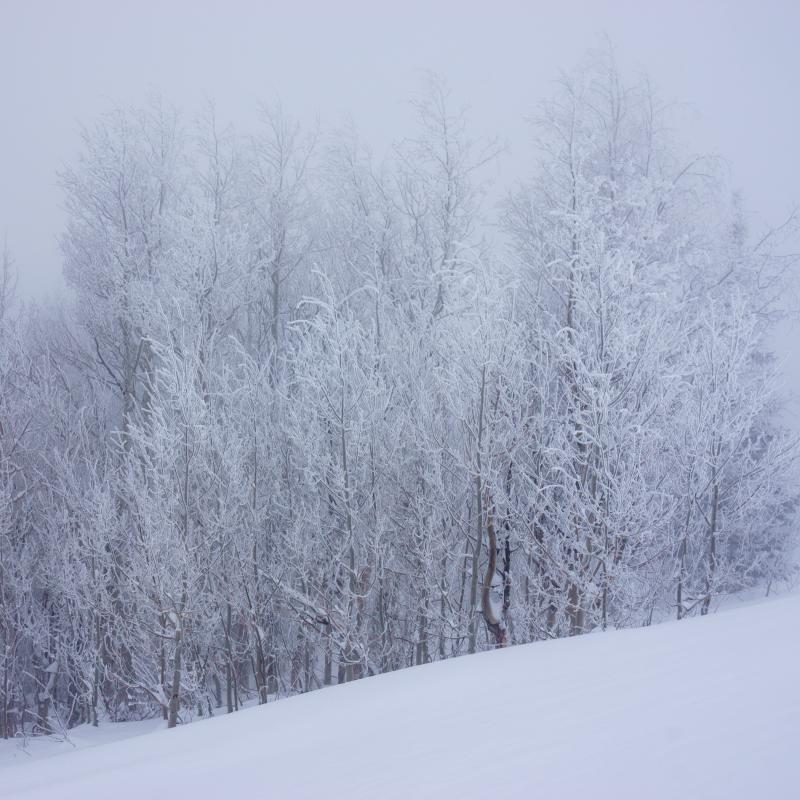 It was a winter wonderland today with the dense snow plastered on everything like it was applied with a paint gun. Then the thick fog and wind put a layer of lovely rime on everything near the ridges. It was enough to make wandering around in the fog and wind seem like a great idea.


