Observation Date
1/5/2015
Observer Name
jg
Region
Uintas » Upper Weber Canyon » Smith-Moorehouse
Location Name or Route
Smith and Morehouse Area
Weather
Sky
Overcast
Wind Direction
Northwest
Wind Speed
Moderate
Weather Comments
Overcast skies and moderate to strong winds from the NW. Cloud ceiling low at times hovering at 10k and sometimes lower. Spring-like temps.
Snow Characteristics
Snow Surface Conditions
Powder
Dense Loose
Wind Crust
Damp
Snow Characteristics Comments

Damp snow to about 9500 ft. You could still make a snowball with the snow above 9500 but not as pronounced as below that elevation. Wind skins on upper elevation slopes, micro to 2" thick capping surface hoar/faceted grains. The wind was degrading some of the upper elevation surface hoar and I was noticing a lot of rimed surface hoar as well.

Red Flags
Red Flags
Wind Loading
Cracking
Rapid Warming
Poor Snowpack Structure
Red Flags Comments
Lower elevation slopes damp. Roller balls and pinwheels observerved on steep slopes below 9K. Minor cracking and collapsing.
Avalanche Problem #1
Problem
Wet Snow
Trend
Same
Problem #1 Comments

Wet avalanches AND wind wind slabs.

Avalanche Problem #2
Problem
New Snow
Trend
Same
Snow Profile
Aspect
North
Elevation
10,400'
Slope Angle
28°
Comments

Rime in upper elevation terrain.

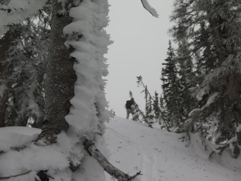
Traveled from 7400-10,600, mostly north half of the compass. Warm today and forecasted for the next few days. Even though the wind was blowing in the moderate to strong category the warm temps were not making a lot of snow available for transport, even on the upper elevation ridge lines. Pit tests reflected mostly stable snow where we dug.

All we can do is wait and see...lack of a good refreeze at lower elevations may make lower elevation slopes more prone to wet slides. Which way will the warm temps drive the temperature gradient in the pack? Will the surface snow continue to facet? I'm curious to get out some more over the next several days to see how the snow reacts to the spring-like conditions forecasted.

Today's Observed Danger Rating
Moderate
Tomorrows Estimated Danger Rating
Moderate