The combination of moderate to strong NW winds after the strong E winds earlier this week reminded me of the joke about the snow never melting in Wyoming, it just blows from one side of the road to another.
Dug a few pits on NW aspects between 9,500' and 10,000' and was finding a generally thin snowpack with depths typically less than a meter, and the faceted snow and depth hoar down near the ground is weaker than in deeper snowpack areas, especially the upper Cottonwoods. The stout, P-hard wind slabs on West aspects from the East winds earlier this week were only cracking locally around skis, but they are capping a weaker decomposing fragments.
Test results:
- ECTX
- CT15 - CT20 Q2 in faceted snow both above and below the rain/rime crusts down 45 cms.
Came away with the following conclusions:
- Snowpack on upper elevation West aspects is generally thin and weaker with poor structure.
- Am finding weaker mid-pack facets where the rain/rime/temperature crusts are thicker.
- Storm slab from Christmas week storm as well as Easterly wind event is currently lacking energy. (Bruce's cat laying on a couch analogy.)
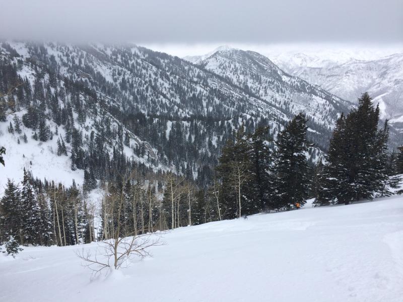
From my travels this past week in LCC/BCC as well as Millcreek, am finding an overall snowpack that is currently stable. (But with poor structure.)
Upper elevation slopes are largely wind affected or crusted, however sheltered, mid-elevation slopes are still holding soft settled snow.
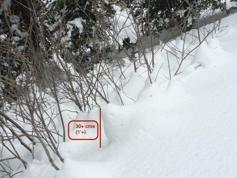
Settlement cones on steeper aspect.
The storm along the horizon looked juicy this morning, but only 1-2 cms at most.