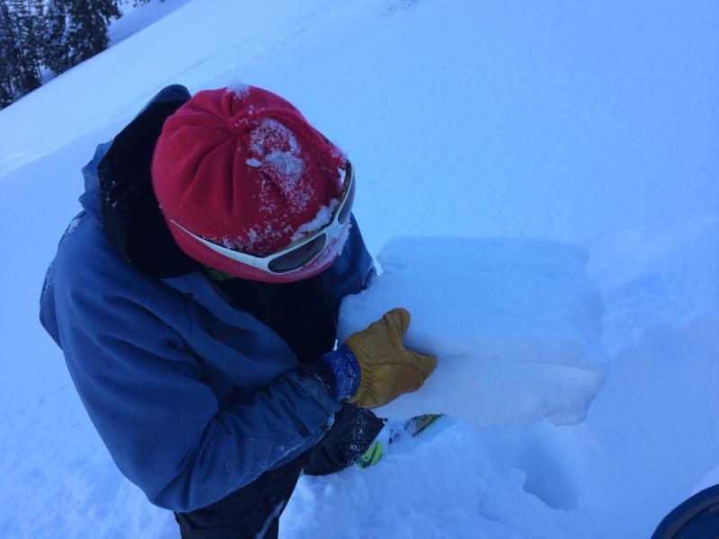
Route today was in West and Main Porter Forks. I was last in there in mid-December when the low elevation snowpack was essentially non-existent, and the upper elevations were thin and weak. Much better shape today with depths roughly 1 to 1.4 meters (~3-5') Numerous inverted pole probes, and on shady aspects was finding a stable snowpack with a stout rain/rime/temperature crust down about 70 cms (little over 2'). This crust has been widely noted throughout the central Wasatch, but this was 4 cms and was thicker than what I have seen elsewhere, and it was sandwiching a thinner crust. However, the faceted snow underneath - and between - the crusts was not especially weak. Test scores (for CT) were mid 20's with Q2/RP.
Overall a stable snowpack in this area.
Photo is of stout rain/rime/temperature crust.
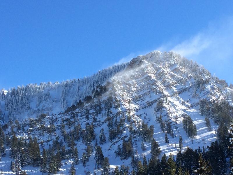
Biggest immediate concern is continued wind drifting from E/NE winds at higher elevations onto lee slopes. For example, Gobblers Knob looks absolutely prime for the taking, but we noted plumes that were likely drifting the upper elevations of the west face. In his (always) excellent 12/31 post, Mark White noted he has been finding weak snow on W and NW aspects.
Photo is of plumes coming off Mount Raymond (10,200')
Big shout out to the calendar scheduling crew at my day job employer - Westminster College - for having the past 2 weeks off. Been the best 2 week stretch since 2010/2011 season.


