Observation: Pointy Peak

Observation Date
12/27/2014
Observer Name
Jake Hutchinson
Region
Salt Lake » Park City Ridgeline » Pointy Peak
Location Name or Route
Pointy Peak/Homerun
Weather
Sky
Overcast
Weather Comments
Thin, transparent clouds covered sky by the time I skied, day started bluebird.
Snow Characteristics
Snow Surface Conditions
Powder
Snow Characteristics Comments

Surface hoar on most sheltered slopes but it seemed to be mostly fallen over and shouldn't be an issue. Snow has settled a bit since yesterday but skiing was still excellent.

Red Flags
Red Flags
Poor Snowpack Structure
Red Flags Comments
No red flags today, but the poor structure remains. Time continues to improve stability.
Avalanche Problem #1
Problem
New Snow
Trend
Same
Problem #1 Comments

New snow seems to be well bonded to old snow surface so primary problem continues to be the various buried facet layers below.

Avalanche Problem #2
Problem
Wet Snow
Trend
Decreasing Danger
Problem #2 Comments

Sluffs still possible in steep terrain, cold temps have kept the snow pretty light.

Snow Profile
Aspect
Southeast
Elevation
9,200'
Slope Angle
26°
Comments

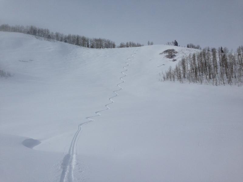
Poking around on solar aspects to see whats going on the last few days. With another storm on its way tonight, these may be the go to slopes the next few days. Was surprised by the test result. Possibly an anomaly? I repeated it three times, I see mod/high strength, moderate propagation propensity and poor structure which for me equates to a tough trigger and possibly a nasty ride.

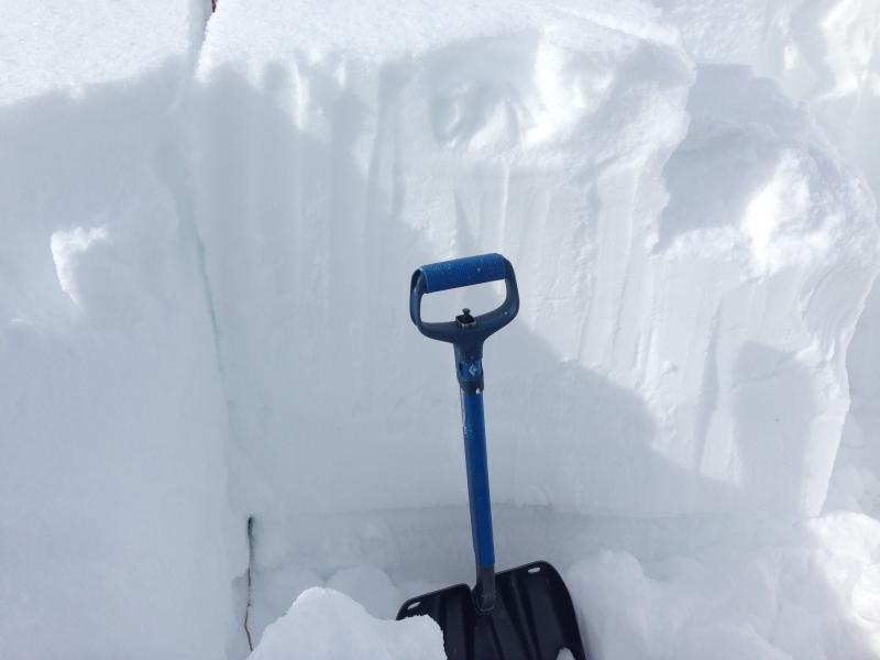
Photo shows ECTP failure on my second test. ECTP 26 RP down 60 CM.

Snow snow structure from pit

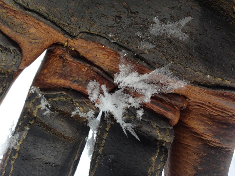
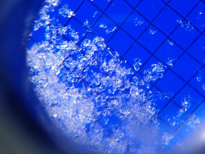
Photo above showws Surface hoar from an east facing slope about 8900'. Photo below is facets that failed at 30cm. Skiing was still spectacular on SE facing slope. Slight sun damage on surface but didn't affect skiing.

Today's Observed Danger Rating
Moderate
Tomorrows Estimated Danger Rating
Considerable
Coordinates