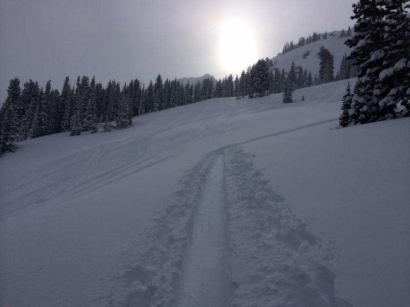
Somewhat of a "monkey see monkey do" ski tour as we went to the same general area as Brett and Lara traveled to on Christmas Day . From what limited visibility we had, I could not find any recent avalanche activity apart from some small sluffs on steeper cliff bands.
Overall we were finding a stable snowpack where we traveled in Mineral Fork:
- basal facets/depth hoar is 5 cm thick and moist.
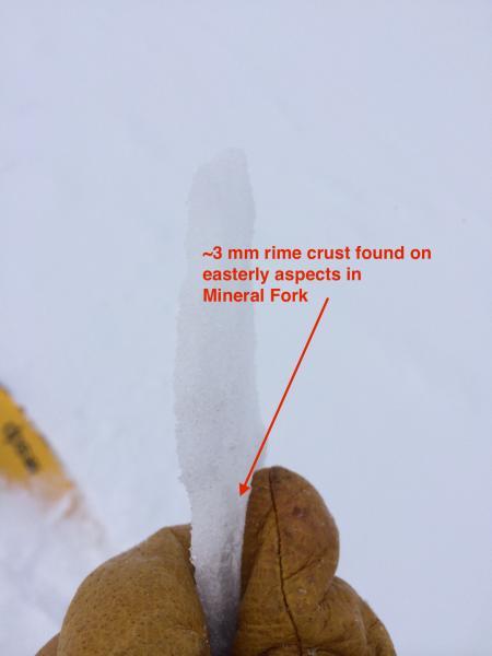
- Two noticeable rime crusts down about 60 cm with faceted snow above, below, and between the crusts. The lower crust is 3 mm and translucent. (Photo.)
- We were not able to get any clean shears in the storm snow since this past weekend and compression tests and ECT got collapsing at the rime crust in the F/4F hard storm slab. Practically speaking, results were ECTX. One compression test did get the entire column to collapse down in the basal facets found at the ground (CTC).
Overall came away with the feeling that the snowpack in this area does have structural weaknesses, but the faceted snow found just below the storm slab does not look especially weak, and it has adjusted to the recent load. Furthermore, the storm slab appears to lack energy and the Christmas storm added relatively water weight to the snowpack.
We did get some minor sluffing in the weak light-density snow at the surface.
Video of what we were finding on a NE aspect at 9400'
Would call the hazard Moderate with an isolated chance of triggering a persistent/deep slab in isolated terrain. We did push slope angles today (approaching 35°), but paid very careful attention to the structure of the snowpack where we were doing so. I still am playing things conservatively for the time being, but overall am feeling rather confident with our current snowpack.
Easily the best day of the year. Happy Boxing Day!