Observation Date
12/22/2014
Observer Name
J. Konigsberg, C. Evans
Region
Salt Lake » Park City Ridgeline
Location Name or Route
PC Ridgeline
Weather
Sky
Obscured
Precipitation
Moderate Snowfall
Wind Direction
Northwest
Wind Speed
Strong
Weather Comments
Snowed about an inch an hour in the am, graupel in the pm.
Snow Characteristics
New Snow Depth
14"
New Snow Density
High
Snow Surface Conditions
Dense Loose
Red Flags
Red Flags
Recent Avalanches
Heavy Snowfall
Wind Loading
Cracking
Collapsing
Poor Snowpack Structure
Avalanche Problem #1
Problem
New Snow
Trend
Same
Problem #1 Comments
Remotely triggered numerous avalanches on facets beneath new snow of last few days as well as a few isolated pockets to the ground. This facet layer, about 15" down is obviously very weak, widespread, and capable of producing very wide avalanches.
Avalanches triggered in this layer have potential to step down to the weak snow at the ground particularly on northwest through northeast slopes above about 8000ft. The Park City area, although sustained less of load then the cottonwoods, has much weaker snow at the ground on northerlies above 8000ft.
We found minimal instabilities in the new snow. Storm snow instabilities have settled out and the new snow is well bonded and makes a great slab.
We observed some older filled in crowns from natural cycle, yesterday or last night.
We experienced thunderous collapses all day.
Avalanche Problem #2
Problem
Persistent Weak Layer
Trend
Decreasing Danger
Problem #2 Comments
Wind slabs were isolated and not widespread. The strong NW winds have not effectively loaded many slopes. Large ridgetop easterly start zones also had minimal cornices. We did trigger one very wide avalanche on a southeasterly facing slope due to heavy windloading. This was at about 8800 ft on a subridge that had many trees on the windward side that helped to decelerate and deposit wind blown snow. In other words this was not the norm.
Comments
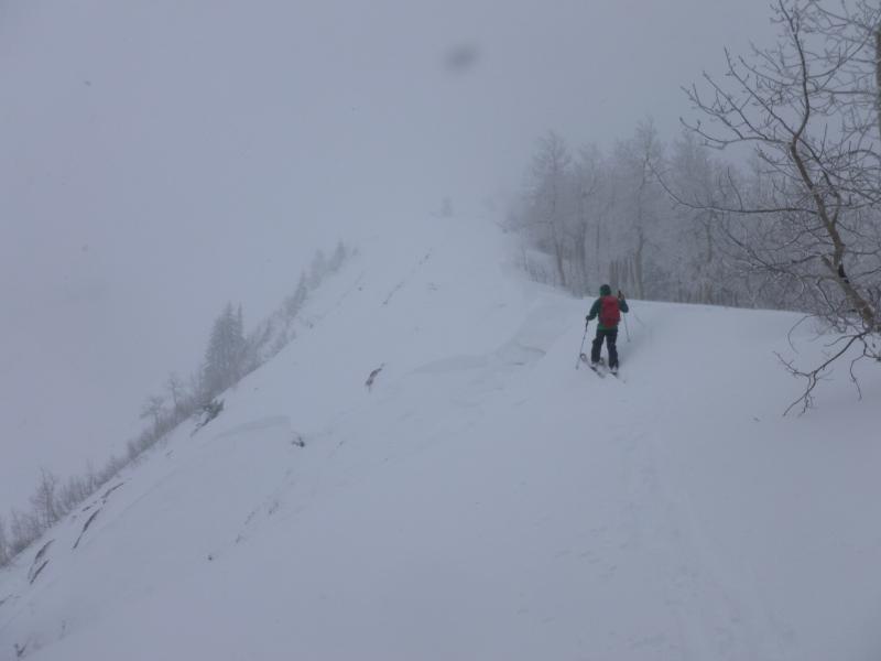
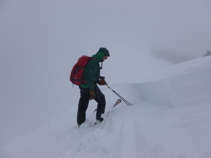
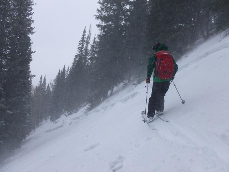
Photo 1 - pockety avalanches, some to ground
Photo 2- wider avalanche (200ft wide) 12-18" on upper facet layer
Photo 3 - north facing, 8600ft, weak layer basal facets, snowpack in this area faceted top to bottom before storm
Video
Video is from ESE 20 degree slope at 9100ft. ECTP2 SP
We thought tomorrow's danger rating should be considerable tomorrow based on lower likelihood of natural avalanches although human triggered avalanches likely. Seems to fit North American Avalanche Danger Scale to the tee. Also think mid-elevation band should be same danger rating as upper elevation slopes due to ineffectiveness of wind loading up high and horrible structure on mid-elevation slopes.
Today's Observed Danger Rating
High
Tomorrows Estimated Danger Rating
Considerable