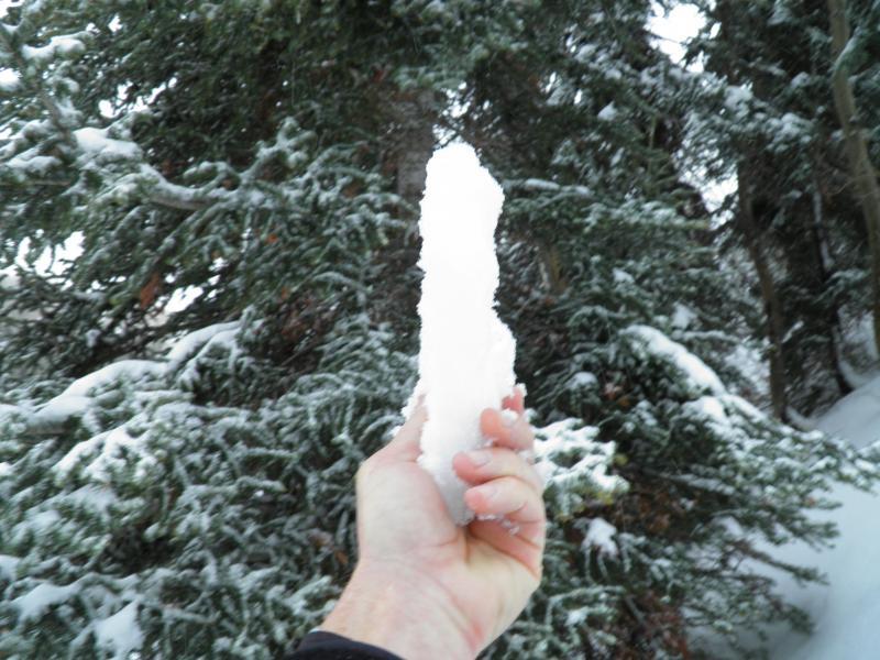
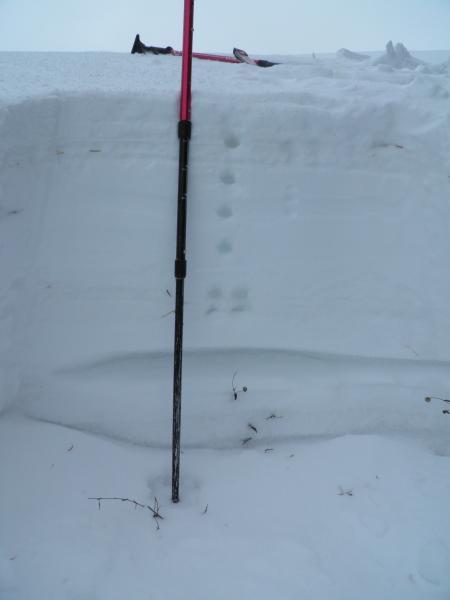
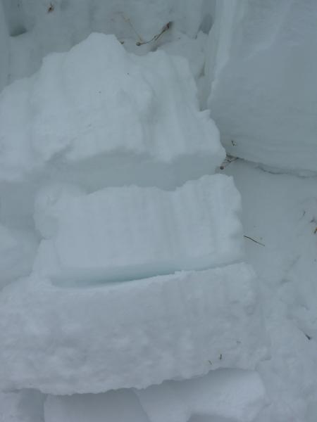
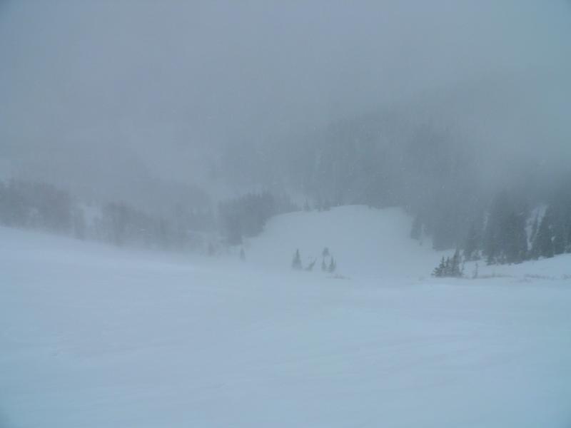
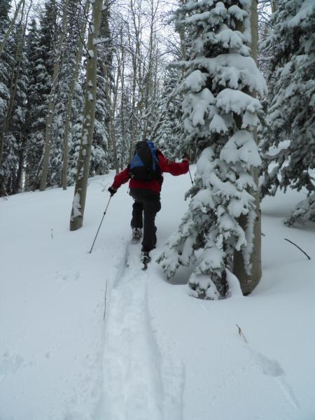
Went up to the top of Reynolds peak for a look at what had happened during the storm. Lots of wind loading up high stripping the snow of the W-NW facing and depositing it on the E-NE facing Reynolds Bowl. No real signs of avalanching were noted in the main bowl, except a smaller soft slab that had released out of the N facing headwall. Snow pit just off the peak in the wind sheltered N facing terrain was kind of a eye opener, I was thinking the easiest failure plain was either going to be the loose faceted surface from before the storm or the facets under the thin wind slab from last weak, but what discovered in the two pit I dug was that I could not isolate a column before it would fail at the facets at the ground, clean sheer with quite allot of energy, both columns failed upon isolation or before, Also in the video you can see the three weak layers clearly after failing at the ground interface first. One large collapse on the ridge to Reynolds Peak noted, but no results, I think the denseness of the slab has made thing less sensitive than yesterday. Photos, rain crust below 8700ft, weak layers in the column that broke at the ground upon isolation, snow pit, NE face of Reynolds loading up, some work breaking trail.