
Observation Date
12/19/2014
Observer Name
jg
Region
Uintas
Location Name or Route
Trial Lake Area
Comments
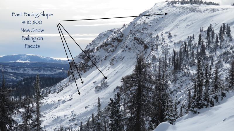
Newest snow failing on facets on a steep east facing slope.
Dense wind drifts sensitive to the weight of a skier on the lee side of the ridges.

Nice day in the alpine with little wind and mild temps for this time of year. Supportable snow for the most part making traveling easy. No real results in snow pit tests. Snow pack showing signs of strengthening but still moderately weak and shallow. Will need to watch for wind loading and the addition of water weight in the near future. The November dry spell facets and newest storm snow interface seems to be the weakest. Low danger out of the wind, moderate danger in the wind zone on steeper slopes on the north half of the compass.
Today's Observed Danger Rating
Low
Tomorrows Estimated Danger Rating
Low


