Observation Date
12/11/2014
Observer Name
Bruce Tremper
Region
Salt Lake » Little Cottonwood Canyon » Alta Periphery
Location Name or Route
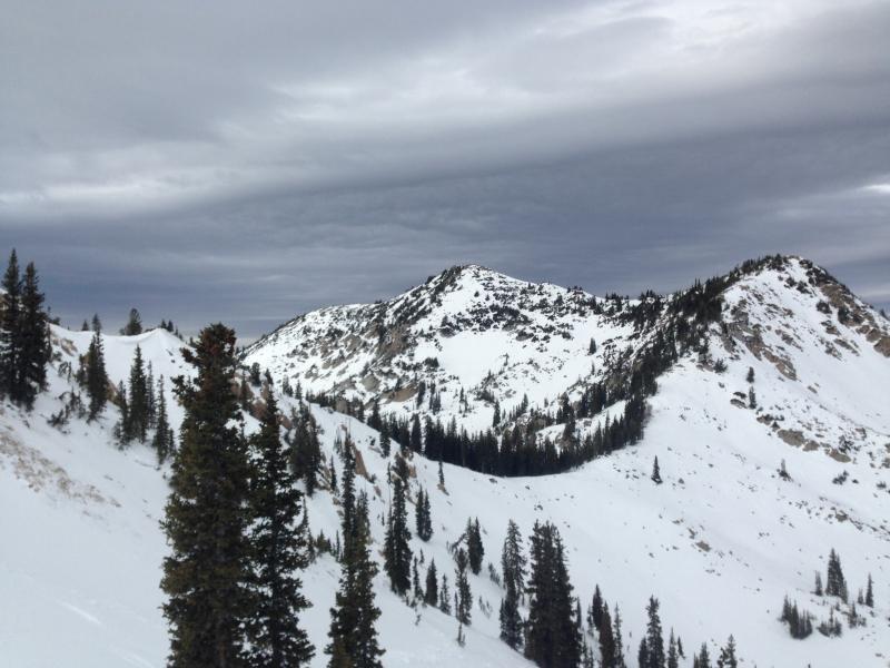
Alta periphery and Rocky Point
Weather
Sky
Overcast
Wind Direction
South
Wind Speed
Strong
Weather Comments
Typical pre-frontal conditions with increasing high clouds and lenticulars, moderate to strong wind from the south and temperatures near freezing.
Snow Characteristics
Snow Surface Conditions
Dense Loose
Wind Crust
Melt-Freeze Crust
Snow Characteristics Comments
Mixed bag of snow surface conditions. The old near-surface faceted snow and surface hoar are being rapidly destroyed in upper elevation, wind exposed terrain, but there are still many wind-protected pockets with intact faceted snow on the surface. Down out of the wind, the riding conditions are reasonable with 2-4 cm of dense, loud powder (near-surface faceted snow) with a firm base underneath. There is facet sluffs occurring on many of the steep, northerly facing chutes.
Avalanche Problem #1
Problem
Persistent Weak Layer
Problem #1 Comments
Wind slabs were not much of a problem today but the wind is expected to pick up more tomorrow. Here are a couple diagrams to show the snow surface patterns today, what I expect will happen when the wind starts to blow harder and where the avalanches may occur once the snow starts falling over the weekend:
Avalanche Problem #2
Problem
New Snow
Problem #2 Comments
Persistent slabs are not a problem today but as the wind picks up, it may deposit wind slabs on the faceted weak layers on the surface. Also, when the new snow arrives (forecasted for Friday night and Saturday) new snow may create slabs on the surface faceted snow. Right now, the forecast is for not a lot of new snow, which will likely not be enough weight to overload the faceted snow in many places but if we get more than forecast or if the winds are strong during the snowfall, then we may have more of a problem in the places with deeper deposits. Stay tuned....
Snow Profile Comments
The usual gloom before the storm. Snowpack remains thin and rocky in most areas, even here at the top of Little Cottonwood Canyon, which is usually the deepest snowpack in the range. Total snow depths range from 50-100 cm (1.5-3 feet).
Today's Observed Danger Rating
Low
Tomorrows Estimated Danger Rating
Moderate