Observation Date
11/24/2014
Observer Name
Michael Janulaitis
Region
Salt Lake » Park City Ridgeline
Location Name or Route
PCMR
Weather
Sky
Obscured
Precipitation
Moderate Snowfall
Wind Direction
Northwest
Wind Speed
Moderate
Weather Comments
At 6:00 the winds were moderate to strong and moderate graupel was falling. By late morning snow fall diminished and finally the sun poked through a few times around 1:00.
Snow Characteristics
New Snow Depth
3"
New Snow Density
Medium
Snow Surface Conditions
Powder
Snow Characteristics Comments
On the north slopes the snow was lightly wind effected and upside down, however; with wide powder skis, even weight and some speed it was very easy to stay on top. The south slopes were not wind effected and therefore was less upside down and skied much better. The little bit of sun that poked through early afternoon did not effect the snow at altitude.
Red Flags
Red Flags
Heavy Snowfall
Wind Loading
Cracking
Collapsing
Poor Snowpack Structure
Red Flags Comments
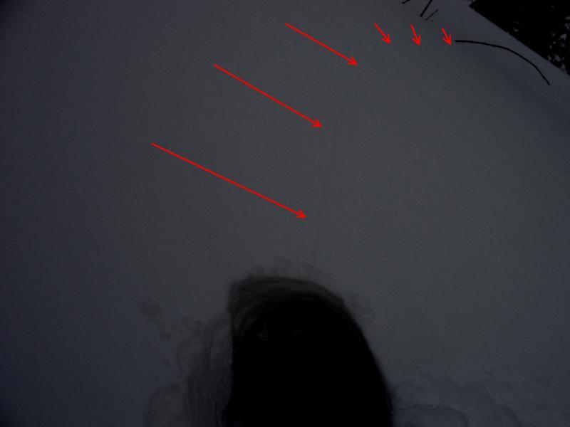
There was wide spread collapsing on the N slopes. I was able to get a large collapse while skiing my first N facing run. There was a little movement but the slab immediately arrested. Collapses were occuring on every lap within the same skin track. Cracking was wide spread as well.
Avalanche Problem #1
Problem
New Snow
Trend
Same
Avalanche Problem #2
Problem
Persistent Weak Layer
Trend
Same
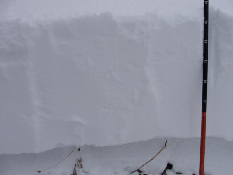
Snow Profile
Aspect
South
Elevation
8,900'
Comments
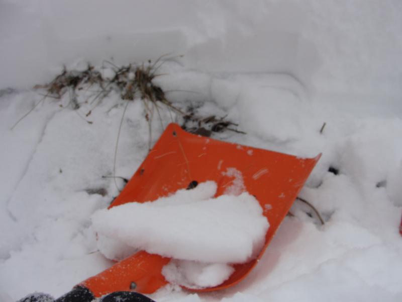
I dug on a south slope to see if the old snow had melted out. It had not. There was a 2 inch thick rain crust on the ground. The new snow was adhering very nicely and would not move, even with a strong shovel shear. My ECT tests only produced breaks within the new snow.
Today's Observed Danger Rating
Considerable
Tomorrows Estimated Danger Rating
Moderate
Coordinates