Check Out Our Holiday Auction!

Observation: Catherine's Pass

Observation Date
11/15/2014
Observer Name
Jeff Morton
Region
Salt Lake » Little Cottonwood Canyon » Catherine's Pass
Location Name or Route
Catherines Pass
Weather
Sky
Scattered
Precipitation
Light Snowfall
Wind Direction
Southeast
Wind Speed
Light
Weather Comments
We were actually surprised that there was very little wind.
Snow Characteristics
New Snow Depth
9"
New Snow Density
Low
Snow Surface Conditions
Powder
Snow Characteristics Comments
There was light powder on top of a denser layer that sat on top of the mid-october facets.
Red Flags
Red Flags
Poor Snowpack Structure
Red Flags Comments
So, we were able to get down in the snow and we made sure to choose a northeast facing aspect so that we would be able to see how that weak layer near the ground is behaving. We found a very weak layer near the ground.
Avalanche Problem #1
Problem
New Snow
Trend
Same
Problem #1 Comments
In the location we observed, the last storm cycle produced about 18" of snow. We weren't expecting that amount but there was enough snow sitting on the weak layer near the ground to cause some problems.
Snow Profile
Aspect
Northeast
Elevation
9,800'
Slope Angle
34°
Comments
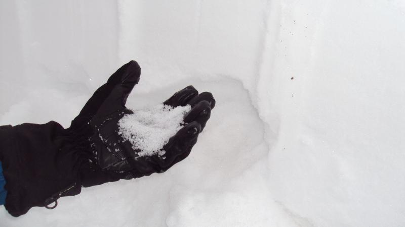
We wanted to do a couple column tests to see how the weak layer near the ground was behaving. During the first test we were able to get it to break on the weak layer on the first swing from the shoulder with a Q2 shear. The second test produced a break on the new snow interface on the 4th strike from the wrist. The weak layer near the ground broke on the third strike from the elbow with a Q2 shear. We didn't get a chance to do a ECT, but we did notice some propagation when we did the shovel test. The weak layer near the ground was about 4" but I foresee it sticking around for a while on the North facing aspects. 
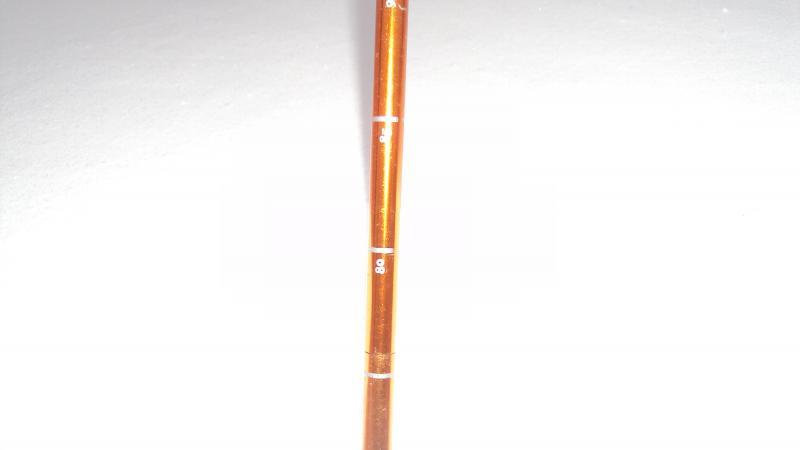
We observed 3 layers in the snow pack, the new snow which was fist hardness, a second layer with 4 fingers and the weak sugar layer near the ground. Total snow depth was 85 cm.
Today's Observed Danger Rating
Moderate
Tomorrows Estimated Danger Rating
Moderate